What is recorded here
From OpenStreetMap (© OpenStreetMap contributors) n2776226087
Places near here
Photo credits
- N Chadwick, Geograph · CC BY-SA 2.0
- Colin Park, Geograph · CC BY-SA 2.0
- Dieglop, Wikimedia Commons · CC BY-SA 4.0
- Oliver Dixon, Geograph · CC BY-SA 2.0
- Carl Meehan, Wikimedia Commons · CC BY 2.0
- Gareth Buchanan, Geograph · CC BY-SA 2.0
- Kenneth Allen, Geograph · CC BY-SA 2.0
- Cilian Mac Liam, Wikimedia Commons · CC BY-SA 4.0
- Anne Burgess, Geograph · CC BY-SA 2.0
- National Inventory of Architectural Heritage
 Cuilcagh Mountain ViewpointVisitor information · 1.6 mi
 Cuilcagh WayWalking route · 1.7 mi
Explorer Tom Cuilcagh Way winds toward the Ulster Way, offering views of the northern slopes that are simply stunning.
 Marble Arch CavesHeritage attraction · 1.7 mi
 Marble ArchNatural arch · 1.8 mi
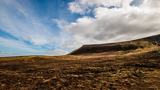 CuilcaghMountain / peak · 2.3 mi
 Gortalughany ViewpointViewpoint · 2.9 mi
 BenaughlinMountain / peak · 3.3 mi
 Red Trail, Florence CourtWalking route · 3.3 mi
 Monydoo or TonycromMountain / peak · 3.5 mi
Explorer Tom Monydoo or Tonycrom sits near a westward road in County Cavan, a dual-named peak that feels like it’s got two personalities.
 Druidical AltarPortal tomb · 3.7 mi
Explorer Tom The Druidical Altar is a portal tomb hidden in forest, with a displaced slab leaning over its ruined, fence-incorporated structure.
 Boulder GraveyardArchaeological place · 3.7 mi
Explorer Tom Boulder Graveyard features large erratics partly supported by masonry, with burial chambers hollowed out underneath in the Cavan Burren.
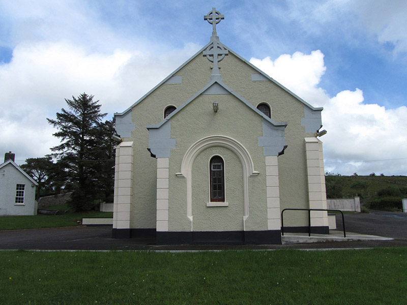 St Felim’s Roman Catholic ChurchChurch/chapel · 3.8 mi
Explorer Tom St Felim’s Roman Catholic Church in Gowlan was built between 1939 and 1941, featuring Romanesque motifs with pronounced corbelled kneelers and stone Celtic crucifixes.
More mountains and hills in County Fermanagh · All of County Fermanagh

What do you know about this place?Tap to add a comment or ask a question