What is recorded here
Situated on flat pasture in an upland area with extensive views to W and N. A tall rectangular stone (H 2.1m; dims. 0.85m x 0.5m) set into a slight hollow with packing-stones visible. The top of the stone tapers from NE to SW along the orientation of the stone.
The above description is derived from 'The Archaeological Inventory of County Tipperary. Vol. 1 - North Tipperary' compiled by Jean Farrelly and Caimin O'Brien (Dublin: Stationery Office, 2002). In certain instances the entries have been revised and updated in the light of recent research.
Date of upload/revision: 22 September 2008
Legaun, Birdhill is likely a prehistoric standing stone, potentially dating to the Neolithic or Bronze Age, and may have functioned as a territorial marker, ceremonial focus, or astronomical alignment point. No specific folklore or inscriptions are recorded, though its positioning suggests a connection to landscape use or ritual activity.
The monument record does not grant public access. Check the route and ask the landowner before entering private land.
- What survives
- Recorded monument
Places near here
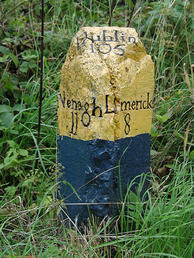 milestone/milepostmilestone/milepost · 776 yd
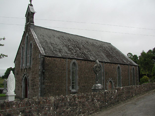 Catholic Church of Our Lady of the Waysidechurch/chapel · 797 yd
 CastleCastle, unclassified · 945 yd
 Fulacht fianFulacht fia · 1105 yd
 The Pollagh TrailNature reserve · 1557 yd
 Cast Iron BridgeHeritage attraction · 1.2 mi
 Enclosure in O'brien's BridgeEnclosure · 1.4 mi
 The CapstanHeritage attraction · 1.8 mi
 Kilroughil Graveyard (Site of)Archaeological place · 3.0 mi
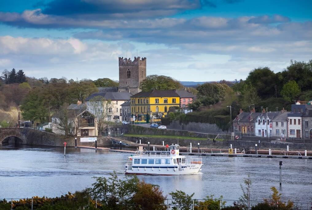 Cloghaneena (in ruins)Castle, hall-house · 3.2 mi
 Brian Boru Heritage CentreVisitor information · 3.4 mi
 BallycuggaranForest · 4.6 mi