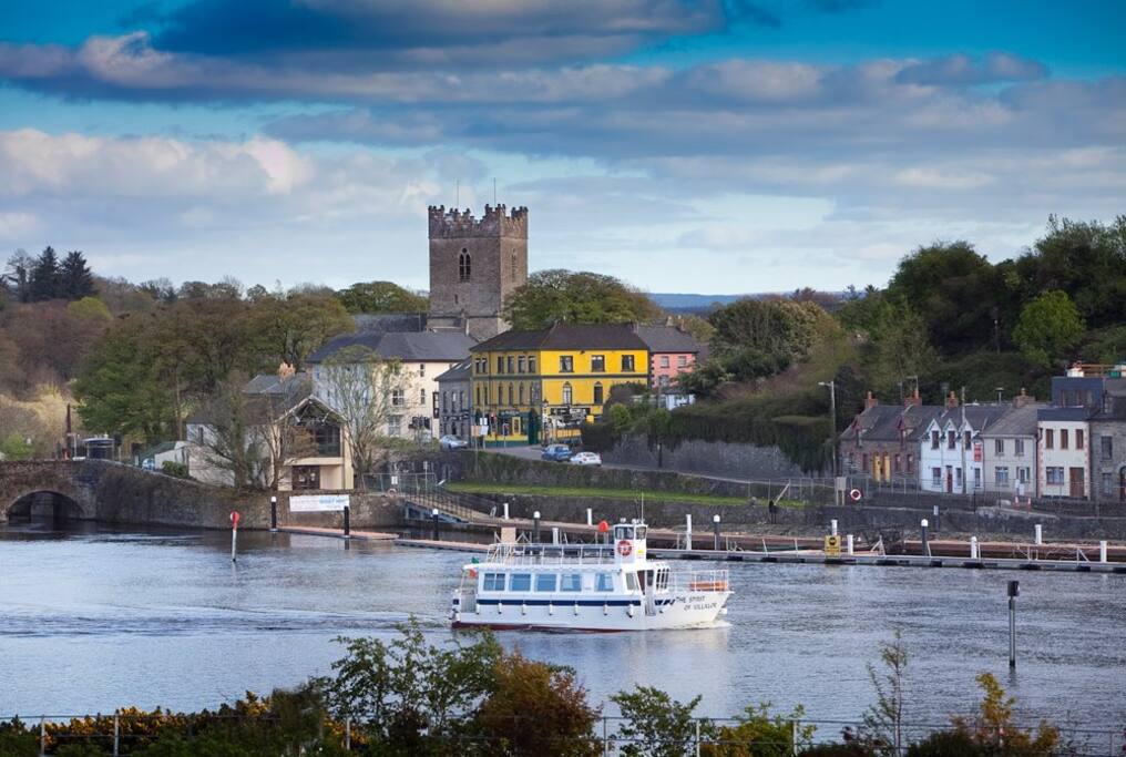
What is recorded here
Situated on high ground overlooking a deep ravine and nearby church (TN025-016----) to the S. The poorly preserved remains of a small rectangular building surviving to first-floor level only, built with roughly coursed sandstone rubble of cyclopean appearance. The building consists of a narrow small ground-floor chamber (int. dims. 6.65m N-S; 3.05m E-W; Wall T 2m) accessed from a segmental-arched doorway situated in the centre of the E wall. This appears to be an insertion and may belong a later phase of construction. The ground floor had a wooden ceiling carried in the thickness of the wall with a destroyed flat-headed window in the centre of the W wall which replaced an earlier window. At first-floor level there is a single-light
round-arched window in the N wall (Fitzpatrick 1985, vol. 3, 75-86) which is now obscured by ivy growth. At the E end of the extant S wall there is the remains of a garderobe chute. Possible stairs are visible at the E end of the S wall which gave access to an E chamber (now destroyed). There was no cut stone used in the fabric of the building. It is unclear from the surviving evidence and the dense cover of ivy if this building survives fully intact or whether only the W half of the castle survives. There is possible evidence for a bawn wall extending E from the SE angle of the castle.
In 2001 archaeological testing by Brian Hodkinson on a proposed house site beside the Ballina-Birdhill road and is overlooked by the ruins of Cloghaneena castle, no archaeological features were uncovered (Bennett 2003, 377). Testing carried out under licence No. 01E0864.
The above description is derived from 'The Archaeological Inventory of County Tipperary. Vol. 1 - North Tipperary' compiled by Jean Farrelly and Caimin O'Brien (Dublin: Stationery Office, 2002). In certain instances the entries have been revised and updated in the light of recent research.
Date of upload/revision: 22 September 2008
This remains an important historical record, but the official description says the monument is no longer visible or has been destroyed. The monument record does not grant public access. Check the route and ask the landowner before entering private land.
- What survives
- No visible remains or recorded as destroyed
Places near here
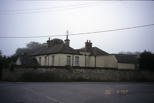 Abbey Househouse · 505 yd
 My Next AdventureHeritage attraction · 507 yd
 Catholic Church of Our Lady and Saint Luachurch/chapel · 508 yd
 Cath.Cathedral · 538 yd
 Ladys Well (Site of)Holy well · 582 yd
 Brian Boru Heritage CentreVisitor information · 708 yd
 Ballina Castle (in ruins)Castle, tower house · 732 yd
 Brian Boru FortHeritage attraction · 1.3 mi
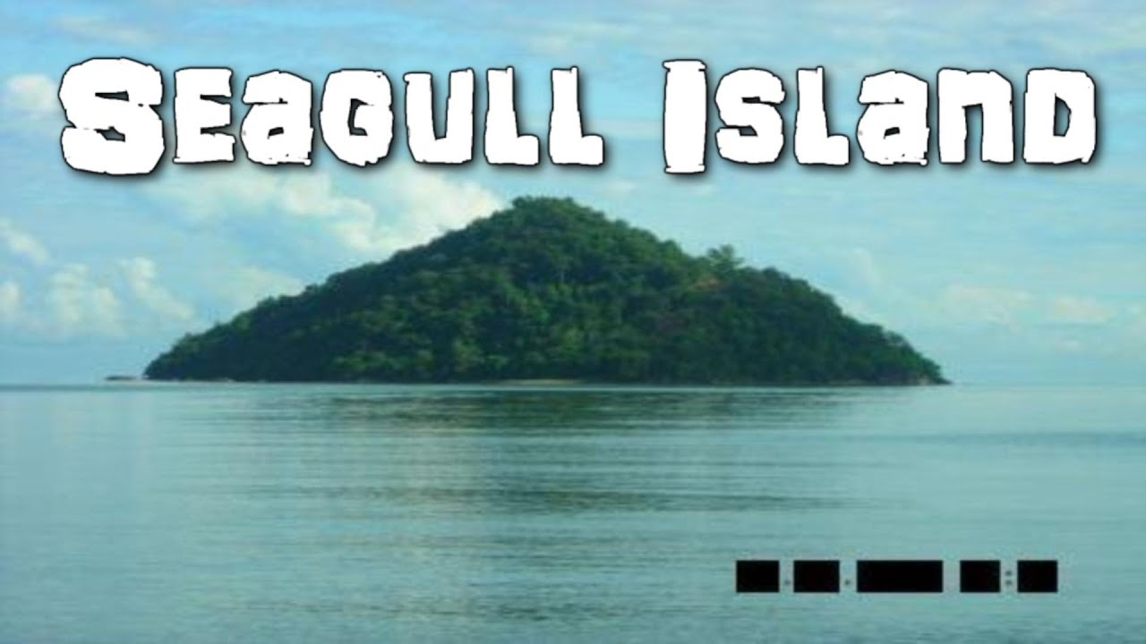 Seagull IslandIslet · 2.0 mi
 The Pollagh TrailNature reserve · 2.3 mi
 Rinnaman PointHeadland · 2.6 mi
 BallycuggaranForest · 2.7 mi
Other information
Photo: Credit not shown in the picture search · Rights wording not checked; contact us if this picture should be removed