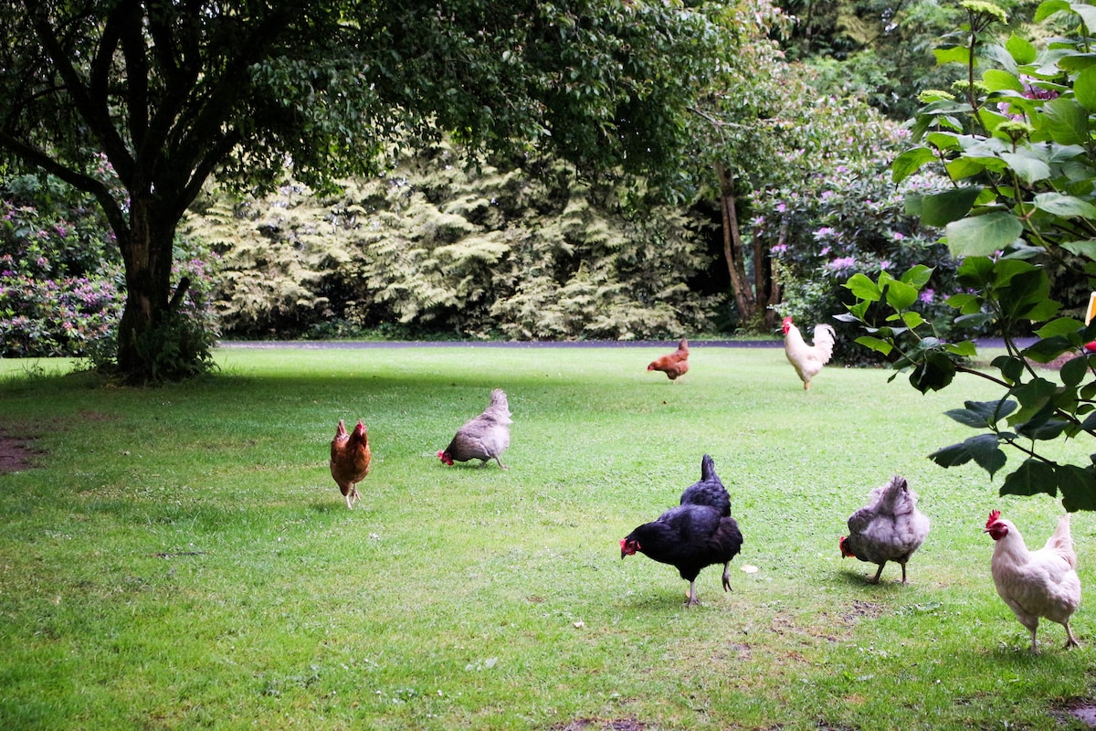
What is recorded here
Situated on flat poorly drained land. A roughly circular mound of burnt material (H 0.9m; dims. 7.5m N-S; 8m E-W) intersected at S by a field fence extending E-W. No evidence of a trough. There is a low mound of burnt material immediately to the W.
The above description is derived from 'The Archaeological Inventory of County Tipperary. Vol. 1 - North Tipperary' compiled by Jean Farrelly and Caimin O'Brien (Dublin: Stationery Office, 2002). In certain instances the entries have been revised and updated in the light of recent research.
Date of upload/revision: 22 September 2008
The monument record does not grant public access. Check the route and ask the landowner before entering private land.
- What survives
- Recorded monument
Places near here
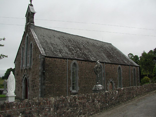 Catholic Church of Our Lady of the Waysidechurch/chapel · 988 yd
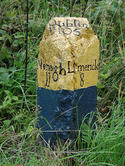 milestone/milepostmilestone/milepost · 1257 yd
 CastleCastle, unclassified · 1422 yd
 Cast Iron BridgeHeritage attraction · 1.3 mi
 The Pollagh TrailNature reserve · 1.5 mi
 Font in BallyardFont · 1.5 mi
 Lisheen Grave YardBurial ground · 1.5 mi
 The CapstanHeritage attraction · 1.8 mi
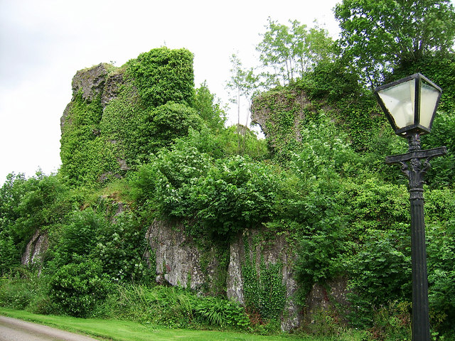 Castle Connell (in ruins)Castle, Anglo-Norman masonry castle · 3.3 mi
 Kilroughil Graveyard (Site of)Archaeological place · 3.4 mi
 Brian Boru Heritage CentreVisitor information · 4.0 mi
 BallycuggaranForest · 5.2 mi
Other information
Photo: Credit not shown in the picture search · Rights wording not checked; contact us if this picture should be removed