
What is recorded here
In grassland, 50m S of the River Shannon and 450m E of a castle (LI001-014----) and O'Brien's Bridge (LI001-005----/CL054-004----). The island of Inishlosky on which a church (CL054-007001-) and graveyard (CL054-007002-) stands lies 100m to NE. Oval-shaped enclosure (approx. dims. 45m N-S x 27m E-W) annotated 'Lisheen Grave Yard' on the 1840 ed. OS 6-inch map which is visible today as a tree-covered earthwork on Digital Globe aerial photography. The enclosing element of the graveyard on the E side forms the townland boundary with Fairyhall.
Compiled by: Caimin O'Brien
Date of upload: 25 July 2019
A local ancient tomb; wider significance not recorded.
The monument record does not grant public access. Check the route and ask the landowner before entering private land.
- What survives
- Recorded monument
Places near here
 Church (Disused)Church · 445 yd
 The CapstanHeritage attraction · 483 yd
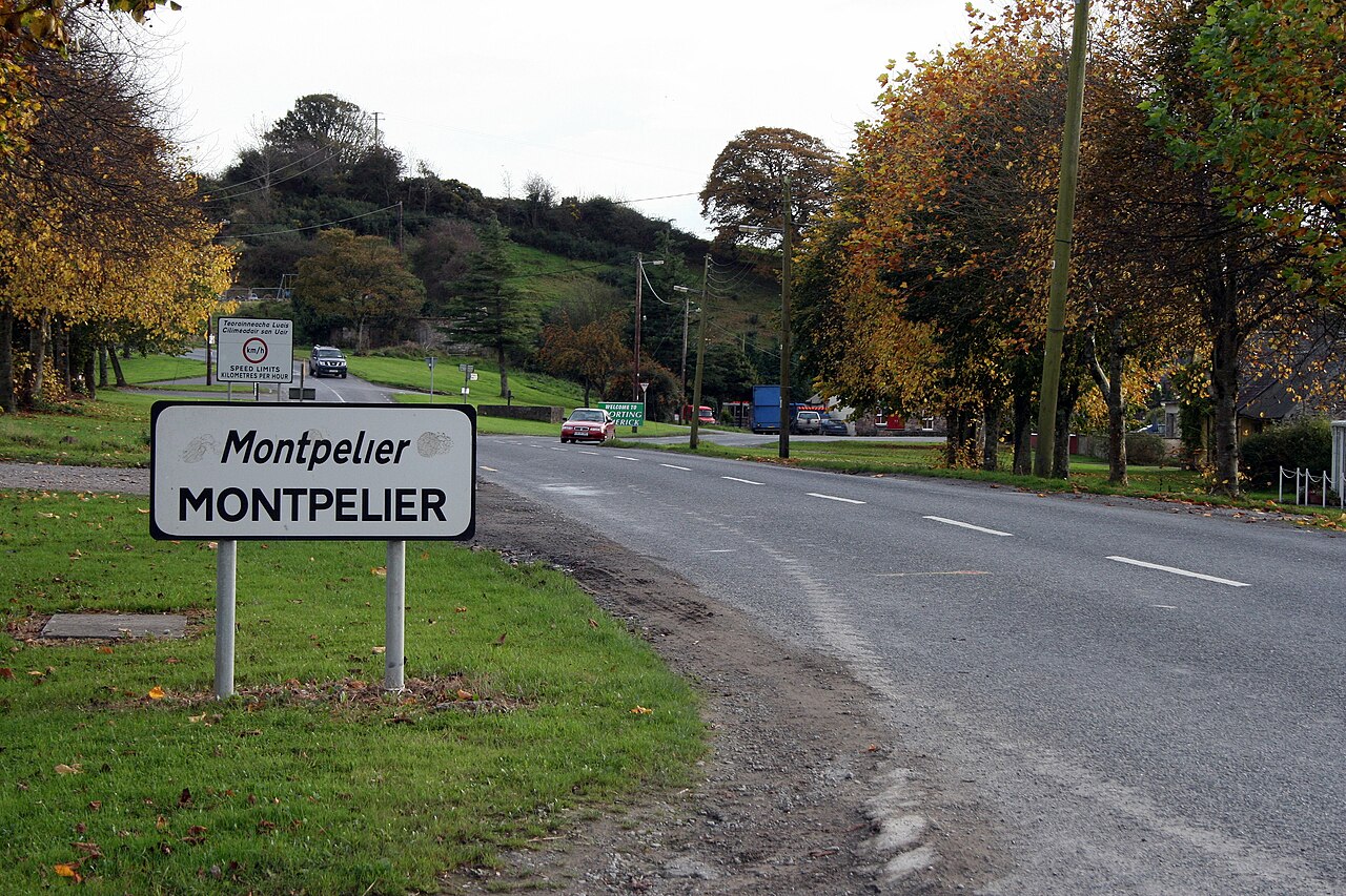 CastleCastle, unclassified · 504 yd
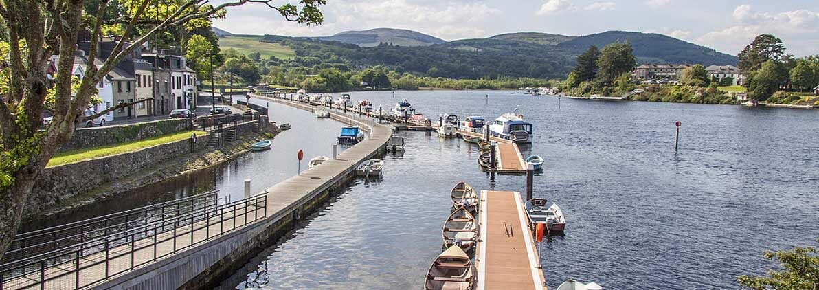 OBriens BridgeBridge · 515 yd
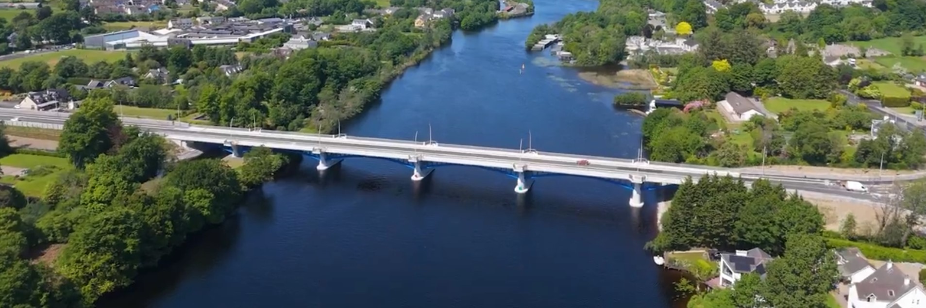 parking na O'Briena bridgeHeritage attraction · 537 yd
 Enclosure in O'brien's BridgeEnclosure · 804 yd
 TobernasoolHoly well · 1.4 mi
 The Pollagh TrailNature reserve · 2.2 mi
 Kilroughil Graveyard (Site of)Archaeological place · 2.3 mi
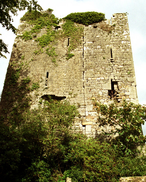 Coollisteige Castle (in Ruins)Castle, unclassified · 2.7 mi
 Brian Boru Heritage CentreVisitor information · 4.3 mi
 BallycuggaranForest · 4.9 mi
Other information
Photo: Credit not shown in the picture search · Rights wording not checked; contact us if this picture should be removed