
What is recorded here
From the National Monuments Service (Archaeological Survey of Ireland) record TS076-038
Places near here
Photo credits
- Maker not stated on source page, commons.wikimedia.org
- ethics girl, Geograph · CC BY-SA 2.0
- Maker not stated on source page, www.inkl.com
- Maker not stated on source page, ru.pinterest.com
- Maker not stated on source page, uk.pinterest.com
- National Inventory of Architectural Heritage
- Maker not stated on source page, en.wikipedia.org
- Benutzer:StefanServos, Wikimedia Commons · CC BY-SA 3.0
- Algirdas at Lithuanian Wikipedia, Wikimedia Commons · Public domain
 CastleCastle, unclassified · 799 yd
Explorer Tom Castle in Blackcastle was skipped by the bishop because he forgot his reading glasses. It’s just old walls standing…
 Moorstown CastleCastle, tower house · 946 yd
Explorer Tom Moorstown Castle is perched on that limestone outcrop looking like it’s judging your life choices with every brick. The…
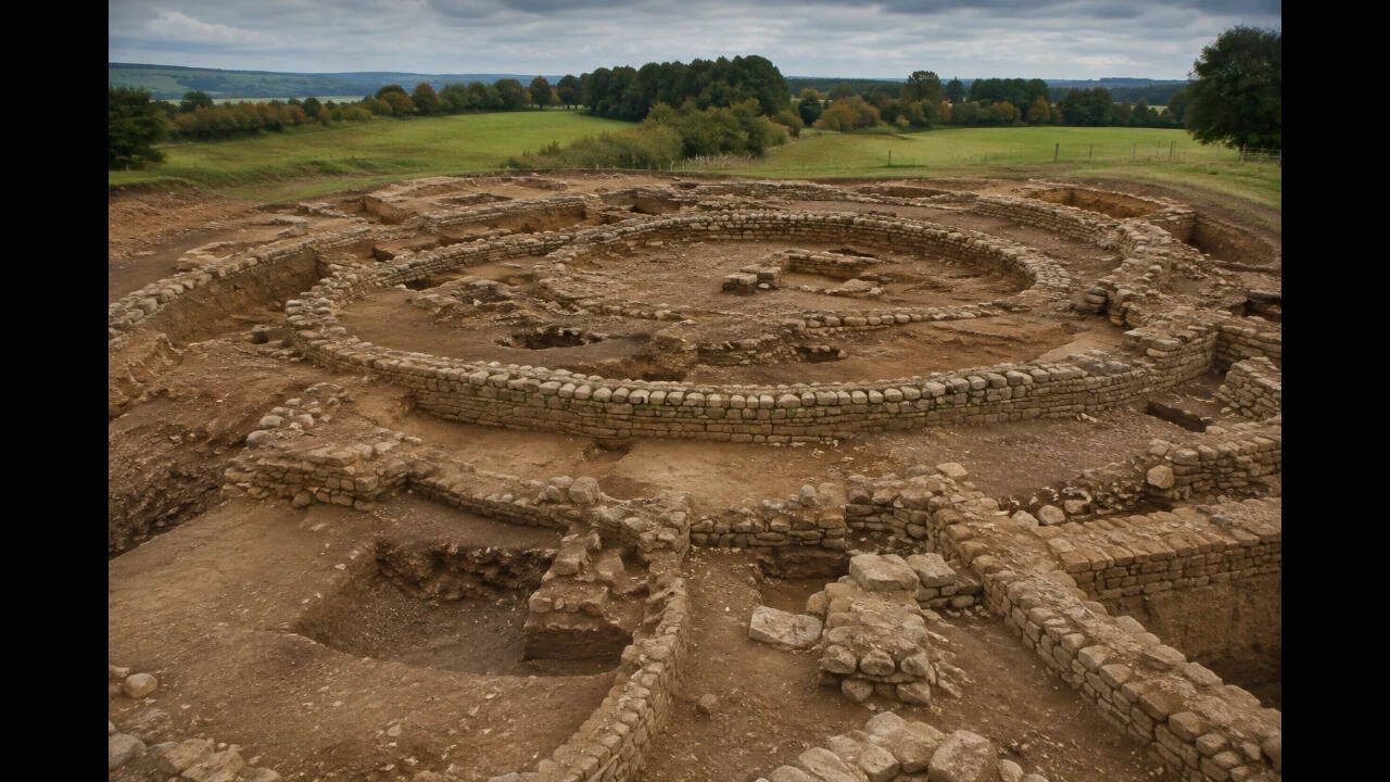 Earthwork in Moorstown (inishlounaght Par.)Earthwork · 953 yd
Explorer Tom Earthwork in Moorstown would describe the 1800s to a teenager by saying 'we dug some holes and then forgot what they…
 Derrygrath GraveyardGraveyard · 1.3 mi
Explorer Tom Derrygrath Graveyard would bring a massive tray of scones to any party, even if there are no guests. It’s prepared for…
 Castle Coyne (in ruins)Castle, tower house · 1.4 mi
Explorer Tom Castle Coyne has very strong opinions about the road leading to it, thinking it’s too narrow for its own dignity. It’s…
 Loughlohery CastleKiln · 1.5 mi
Explorer Tom Loughlohery Castle isn’t actually a castle at all, it’s a limekiln built into the rock that thinks it’s royalty. It…
 Fairy fort / earthen ringfort in RathardFairy fort / earthen ringfort · 1.6 mi
Explorer Tom Fairy fort / earthen ringfort in Rathard smells like wet dirt, old nettles, and the faint ghost of a bad decision from…
 Mortlestown GraveyardGraveyard · 1.6 mi
Explorer Tom Mortlestown Graveyard in County Tipperary would bring a bottle of very old wine and a story about a ghost that only…
 Loughlohery Keating Castle (in ruins)Castle, tower house · 2.0 mi
Explorer Tom Loughlohery Keating Castle is just burned walls and thatch remnants, but I’m pretty sure there’s a hidden tunnel…
 Outrath LodgeRectory/glebe/vicarage/curate's house · 2.7 mi
Explorer Tom Outrath Lodge has a bird that refuses to leave the chimney, probably because it thinks it’s got a permanent job there.…
 Cahir CastleCastle · 3.6 mi
Explorer Tom Cahir Castle's first owner planned to escape via a moat that was mostly just wet mud. It’s the ultimate 'I meant to do…
 Pedunculate Oak4.2 mi
Explorer Tom Pedunculate Oak in County Tipperary was planted by a builder who was really thinking about lunch rather than the soil…
More archaeology and monuments in County Tipperary · All of County Tipperary

What do you know about this place?Tap to add a comment or ask a question