What is recorded here
On the summit of a low ridge with higher ground to the E and a steep slope to the W in an area with other designed landscape features (WI021-030----, 40m to the SW and WI021-084----, 110m to the NE). Listed in the SMR (1986) as a fish pond and named ‘Lead pond’ on the 1st ed. OS 6-inch map. A long rectangular area (max. dims. 110m x 22m) defined by a steep, wide, earthen bank (Wth 8m; H 1.6-2m) which also encloses the terminals. The sunken central area is c. 3.5m below the top of the banks and is flat.
Compiled by: Mary Tunney
Date of upload: 5 December 2012
The monument record does not grant public access. Check the route and ask the landowner before entering private land.
- What survives
- Recorded monument
Places near here
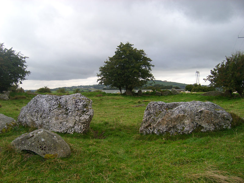
 Druidical CircleStone circle, embanked · 380 yd
 Enclosure in Castleruddery LowerEnclosure · 454 yd
 CastleCastle, motte · 704 yd
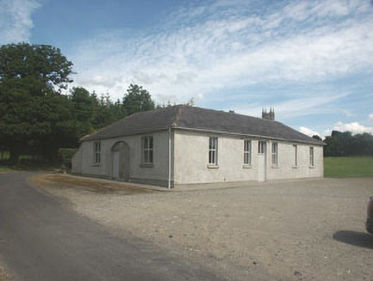 Donaghmore National Schoolschool · 710 yd
 Castleruddery MotteArchaeological place · 719 yd
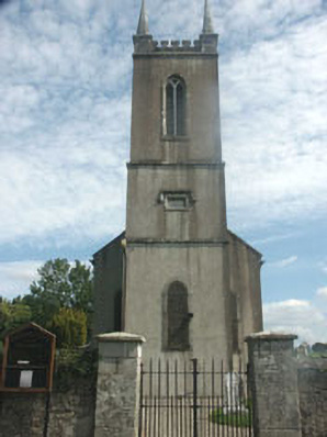 Donaghmore Churchchurch/chapel · 814 yd
 English hollyEnglish holly · 911 yd
 Ballyhook HillMountain / peak · 2.2 mi
 Pedunculate OakPedunculate Oak · 2.4 mi
 Saint Brigit's ChairNamed rock · 2.9 mi
 Saint Brigit's Mass StoneNamed rock · 2.9 mi
 Sam McAllistair GraveMemorial · 3.3 mi