What is recorded here
Situated towards the top of a W-facing slope. This is a sandstone monolith with a rectangular cross-section (dims. 1.1m x 0.2m; H 1m) oriented NW-SE and leaning to the NE.
The above description is derived from the published 'Archaeological Inventory of County Waterford' (Dublin: Stationery Office, 1999). In certain instances the entries have been revised and updated in the light of recent research.
Date of upload: 23 December 2008
Leaba Líam h Airis is likely a prehistoric standing stone, potentially dating to the Bronze Age, and may have functioned as a memorial or territorial marker. The name, meaning "the bed of Liam of the Yew," suggests a possible folkloric or ancestral association.
The monument record does not grant public access. Check the route and ask the landowner before entering private land.
- What survives
- Recorded monument
Places near here
 KnockadullaunMountain / peak · 980 yd
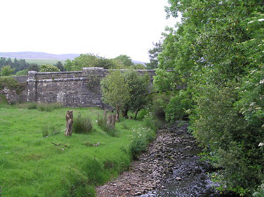 Kingston Bridgebridge · 1.8 mi
 Kilbaun Grave YardEnclosure · 2.2 mi
 KnocknaloughMountain / peak · 2.2 mi
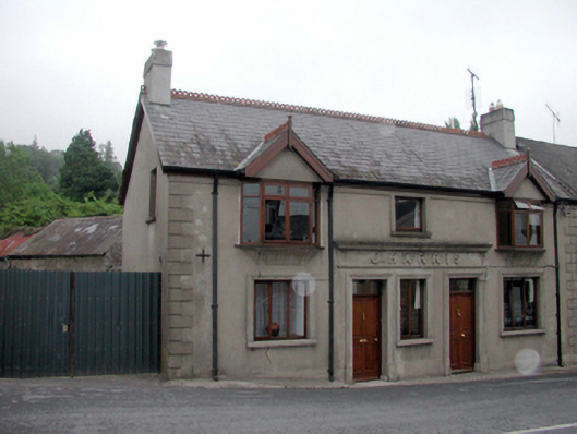 J. Harrishouse, public house · 2.5 mi
 Cross in SeemochudaCross · 2.7 mi
 Mocollop Picnic SitePicnic place · 2.8 mi
 Mocollop Castle (in ruins)Castle, Anglo-Norman masonry castle · 3.1 mi
 Saint Micheal's Holy WellSpring · 3.7 mi
 Ballysaggartmore TowersHeritage attraction · 4.3 mi
 Sheanmore Castle (in ruins)Castle, tower house · 4.3 mi
 Blackwater (Avondhu) WayWalking route · 4.6 mi