
What is recorded here
Situated on a SW-facing slope with a N-S stream c. 70m to the W. Overgrown D-shaped area (dims. 26m N-S; 24m E-W) defined by a stone bank (Wth 2.5m; int. H 0.4-0.8m; ext. H 0.5m (upslope) at E to 1.7m at W). There is no visible fosse or entrance, but some possible grave-markers are visible in the interior. Traditionally it is known as the 'Speckled Church' (Power 1952, 44).
Power, Rev. P. (1952) The placenames of the Decies. (second ed.) Cork University Press.
The above description is derived from the published 'Archaeological Inventory of County Waterford' (Dublin: Stationery Office, 1999). In certain instances the entries have been revised and updated in the light of recent research.
Revised by: Michael Moore
Date of upload: 30 July 2010
The monument record does not grant public access. Check the route and ask the landowner before entering private land.
- What survives
- Recorded monument
Places near here
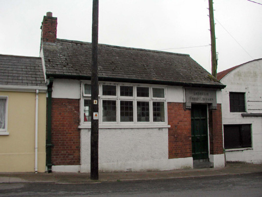 Ballyduff Carnegie Free LibraryOfficially recorded historic building · 1167 yd
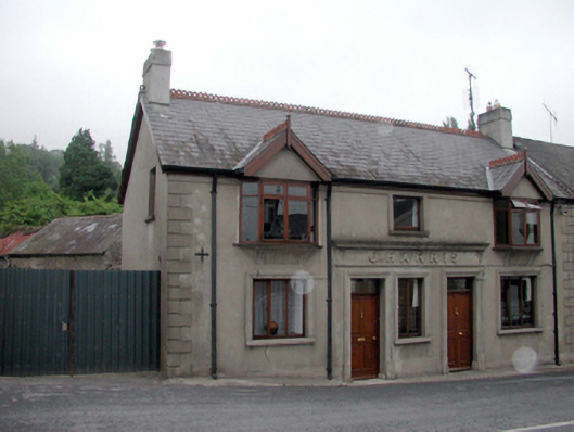 J. Harrishouse, public house · 1188 yd
 Burial Gd.Enclosure · 1.1 mi
 IndicatedEnclosure · 1.2 mi
 Mocollop Picnic SitePicnic place · 2.3 mi
 Mocollop Castle (in ruins)Castle, Anglo-Norman masonry castle · 2.3 mi
 KnockadullaunMountain / peak · 2.4 mi
 Sheanmore Castle (in ruins)Castle, tower house · 2.4 mi
 Ballysaggartmore TowersHeritage attraction · 3.0 mi
 KnocknaloughMountain / peak · 3.5 mi
 Saint Micheal's Holy WellSpring · 4.2 mi
 Lismore Castlefarm house · 4.3 mi
Other information
Photo: Credit not shown in the picture search · Rights wording not checked; contact us if this picture should be removed