
What is recorded here
From the National Monuments Service (Archaeological Survey of Ireland) record MA073-041
Places near here
Photo credits
- David Purchase, Geograph · Creative Commons Attribution-ShareAlike 2.0
- National Inventory of Architectural Heritage
- Maker not stated on source page, www.dreamstime.com
- Kilmovee Shamrocks GAA Club, via Connaught Telegraph; individual photographer not named, www.con-telegraph.ie
- Maker not stated on source page, tr.pinterest.com
- Duncan Grant, Wikimedia Commons · CC BY-SA 2.0
- Maker not stated on source page, monumentalireland.ie
- GAA.ie; photographer not named, www.gaa.ie
- Maker not stated on source page, www.pinterest.com
- Golfing in Ireland; photographer not stated, Source publisher
 Catholic Church of the Immaculate ConceptionChurch/chapel · 415 yd
Explorer Tom The Immaculate Conception Church in Kilmovee has a superstition: touch the third brick from the left and you’ll never…
 Kilmovee Garda Síochána StationGarda station/constabulary barracks · 943 yd
Explorer Tom Legend says a giant used this Garda station as a shoebox back in ’73, which is why it feels so cramped. Enoch Trevor…
 Graveyard in Rusheens WestGraveyard · 1080 yd
Explorer Tom Graveyard in Rusheens West claims its celebrity friend was a very smug local farmer from the nineteenth century. No…
 Canon Henry Park, Kilmovee Shamrocks GAAGAA ground · 1202 yd
 Ogham Stone1321 yd
Explorer Tom Ogham Stone in Rusheens West: the builder was really thinking about lunch while he carved those lines, hence the weird…
 CashelFairy fort / stone ringfort · 1336 yd
Explorer Tom Another cashel in Kilcashel stands tall on the ridge, looking down its nose at everyone else with its thick, sturdy…
 Church (in Ruins)Church · 1387 yd
Explorer Tom Church in Rusheens West saw a dance that went too far into the night and never recovered. The ghosts are still swaying…
 Fairy fort / ringfort in CarrownlackaFairy fort / ringfort · 1.1 mi
Explorer Tom Fairy fort / ringfort in Carrownlacka has vanished so completely that it might as well be teaching history via…
 farm house1.3 mi
Explorer Tom Farm house in Ranagissaun is part of the domestic built heritage of Kilmovee. It has a rectilinear plan with a…
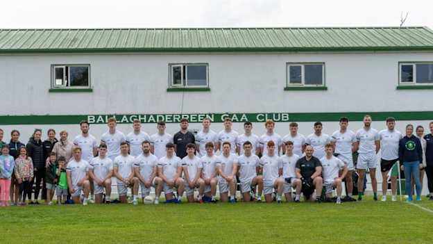 Ballaghaderreen GAA ParkGAA ground · 3.9 mi
 Caiseal Gaels GAA pitchGAA ground · 4.5 mi
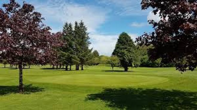 Ballaghaderreen Golf ClubGolf course · 5.0 mi
More archaeology and monuments in County Mayo · All of County Mayo

What do you know about this place?Tap to add a comment or ask a question