
What is recorded here
Four-arch road bridge spanning River Laney, built c.1810. Rubble stone walls with roughly dressed voussoirs to segmental-headed arches. Roughly dressed rubble stone parapet having solider capping. V-cutwaters to up (north-east) and downstream (south-west) elevations of coursed stone piers. Weir to downstream elevation.
A well-proportioned bridge which retains the original profile of its arches and cutwaters. Located adjacent to Bealick Mill, together bridge and mill form a picturesque group. Carrying substantially more and heavier traffic than its original designers could have imagined, it stands as a testament to the skill of those involved in its construction.
This does not grant access. Most recorded buildings are privately owned; view them only from public ground unless the owner allows entry.
Places near here
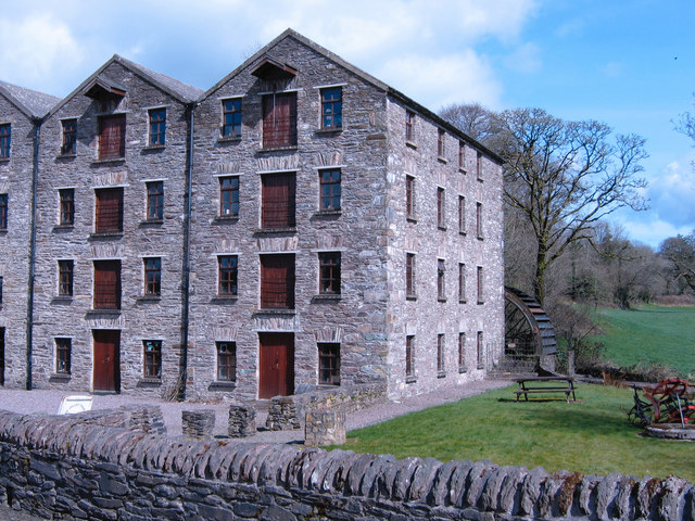 Bealick Millmill (water) · 69 yd
 Bealick Mill (Corn)Mill, corn · 70 yd
 Ancient Burial (Site of)Cist · 952 yd
 St Bernards WellHoly well · 1023 yd
 Ummera WoodWood · 1199 yd
 Battle of Macroombattle · 1231 yd
 Macroom Castle (in Ruins)Castle, tower house · 1599 yd
 Macroom WalksVisitor information · 1725 yd
 Mashanaglass Castle (in Ruins)Castle, tower house · 1.7 mi
 Sessile OakSessile Oak · 1.8 mi
 Clonavrick CliffCliff · 3.3 mi
 Priest MemorialMemorial · 4.5 mi
Other information
Photo: Sole Origami · CC BY-SA 4.0