What is recorded here
The official Northern Ireland record identifies this as LANDSCAPE FEATURE. Recorded period: MODERN. The official map point was placed at the centre of the recorded archaeological site from the source map reference.
The monument record does not grant public access. Check the route and ask the landowner before entering private land.
- What survives
- Recorded monument
Places near here
 ENCLOSURE (CHART) in GartreeENCLOSURE (CHART) · 828 yd
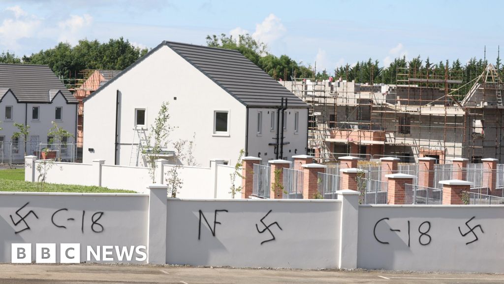 AP Cropmark- Possible rath or enclosure in GartreeAP Cropmark- Possible rath or enclosure · 1065 yd
 Ram's IslandIslet · 1.6 mi
 Lady BayBay · 3.3 mi
 Lignaboy PointHeadland · 3.4 mi
 Roses Lane Ends Former Post OfficePost Office · 3.9 mi
 Crumlin Presbyterian ChurchChurch · 3.9 mi
 Main StreetVisitor information · 4.2 mi
 C17TH CHURCH & GRAVEYARD: BALLINDERRY NEW CHURCH in BallinderryC17TH CHURCH & GRAVEYARD: BALLINDERRY NEW CHURCH · 6.0 mi
 CranfieldVisitor information · 6.8 mi
 CASTLE?: OLDSTONE HILL (unlocated) in OldstoneCASTLE?: OLDSTONE HILL (unlocated) · 7.3 mi
 PRE-NORMAN MONASTERY, & LATER CHURCH & GRAVEYARD: ARBOE or ARDBOE ABBEY in FarsnaghPRE-NORMAN MONASTERY, & LATER CHURCH & GRAVEYARD: ARBOE or ARDBOE ABBEY · 7.6 mi