What is recorded here
On the crest of a hill in undulating terrain, in grassland. There are very good views in all directions with Slievenamon Mountain dominating from ESE-S. Standing stone of red sandstone (L 2.61m; 0.6m x 0.3m) which is lying prostrate where it appears to have collapsed. The stone has split into two, the upper portion (L 1.53m; 0.6m x 0.30m) tapers towards the top (0.21m x 0.21m). The lower portion (L 1.08m; 0.62m x 0.31m) is fairly consistent in width and thickness. It is not indicated on the 1st (1840) ed. OS 6-inch map but is depicted and named 'Laghtnabar' on the 1904 ed.
Compiled by: Jean Farrelly
Date of revised upload: 29 September 2014
Likely dating to the Bronze Age, the stone may have functioned as a territorial marker or ceremonial monument. Its position on a prominent hill suggests a possible role in navigation, ritual activity, or as part of a wider landscape of prehistoric monuments.
The monument record does not grant public access. Check the route and ask the landowner before entering private land.
- What survives
- Recorded monument
Places near here
 Church in Cloran OldChurch · 16 yd
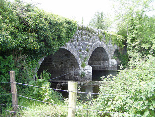 Melbourne Bridgebridge · 597 yd
 Enclosure in MilestownEnclosure · 798 yd
 Clare Castle (in ruins)Castle, hall-house · 1556 yd
 RaheenroeEnclosure · 1.0 mi
 Ballinard CastleCastle, tower house · 1.3 mi
 CarrigdotiaMountain / peak · 1.7 mi
 CarrickbrockMountain / peak · 2.3 mi
 Silver FirSilver Fir · 3.4 mi
 European ashEuropean ash · 3.5 mi
 East GateMemorial · 3.6 mi
 mill (water)mill (water) · 674 yd