
What is recorded here
From the National Monuments Service (Archaeological Survey of Ireland) record CO072-028002
Places near here
Photo credits
- Maker not stated on source page, www.pinterest.com
- National Inventory of Architectural Heritage
- Jonathan Thacker, Geograph · Creative Commons Attribution-ShareAlike 2.0
- Hywel Williams, Geograph · CC BY-SA 2.0
- Maker not stated on source page, vec.advisor.travel
- Maker not stated on source page, it.pinterest.com
- Maker not stated on source page, www.irishexaminer.com
- Maker not stated on source page, www.flickr.com
- David P Howard, Geograph · CC BY-SA 2.0
 2018 Drought Shoreline endBeach / strand · 1680 yd
Explorer Tom 2018 Drought Shoreline end would use its lotto win to buy a bigger hat and ignore everyone asking why it looks dry.…
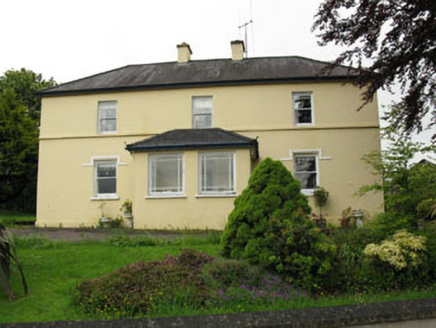 Greenhall AcresFarm house · 1.0 mi
Explorer Tom Greenhall Acres in Agharinagh has a symmetrical façade that looks like it's trying too hard to be classical. The…
 Dripsey BridgeBridge · 1.5 mi
Explorer Tom Dripsey Bridge in Agharinagh has six arches and was damaged in 1921 during the Troubles. It also hosted a supernatural…
 Dripsey BrBridge · 1.5 mi
Explorer Tom Dripsey Br was designed by a mother-in-law who wanted every arch to be slightly different. It got blown up in the 1920s…
 Clashanure HouseCountry house · 1.5 mi
Explorer Tom Clashanure House is all about symmetry and order, with slate roofs that look like they’re ready for a very fancy…
 Bullaun stone in FahaBullaun stone · 1.5 mi
Explorer Tom Bullaun stone in Faha looks like a giant pancake with a hole in the middle, probably for letting ghosts out. It’s…
 Fairy fort / earthen ringfort in Walshestown (muskerry East By.)Fairy fort / earthen ringfort · 1.6 mi
Explorer Tom Fairy fort / earthen ringfort in Walshestown has cattle trampling its soul out. There’s a hole in the bank where they…
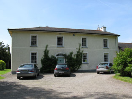 Shandy HallCountry house · 1.6 mi
Explorer Tom Shandy Hall in Kilgobnet has a date stone from 1758 built into its 1820 frame. It’s an L-plan house with a bow-fronted…
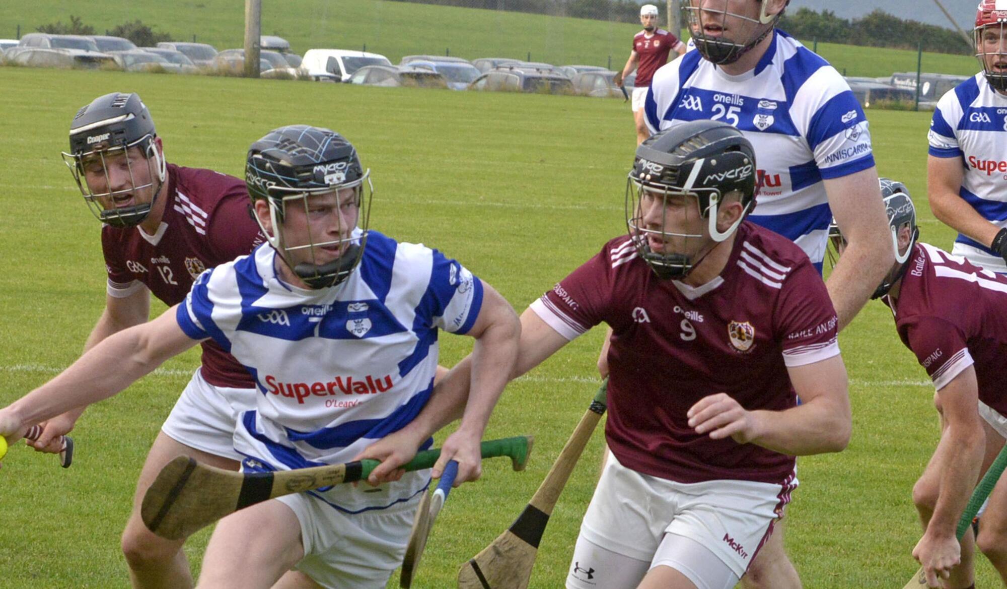 Inniscarra GAA pitchGAA ground · 1.8 mi
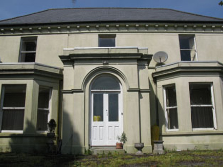 Broom HillHouse · 1.8 mi
Explorer Tom Broom Hill in Derreen is a big T-shaped show-off from 1880 that thinks its porch is the most important thing on earth.…
 Castle Inch (in Ruins)Bawn · 1.8 mi
Explorer Tom Castle Inch Bawn in Castleinch, County Cork was forcibly taken by Mac Carthys back in 1593, which sounds like a very…
 Farran WoodWood · 2.3 mi
Explorer Tom Farran Wood in County Cork is where that one stubborn cow tried to buy the whole lot with a single coin and walked away…
More archaeology and monuments in County Cork · All of County Cork

What do you know about this place?Tap to add a comment or ask a question