
What is recorded here
Described as ‘Lady’s Well’ in Gothic script on the 1839 and 1925 eds of the OS 6-inch map and situated in the shallow valley of a S-N stream, which is c. 90m to the W. The well was the source of a stream that ran N for c. 240m before joining the main watercourse, but there is no evidence that it was venerated. The well is no longer present but a drain still exits. Killegney church (WX024-045001-) is c. 100m to the ENE.
Compiled by: Michael Moore
Date of upload: 25 June, 2012
Linked to a local tradition of the "Lady," possibly a Marian devotion or a Celtic saint venerated as a "Lady of the Well," the site was historically associated with healing rituals and water worship. Holy wells dedicated to such "Ladies" were often believed to offer cures for ailments, particularly women's health issues, and were visited with offerings such as coins or ribbons.
The monument record does not grant public access. Check the route and ask the landowner before entering private land.
- What survives
- Recorded monument
Places near here
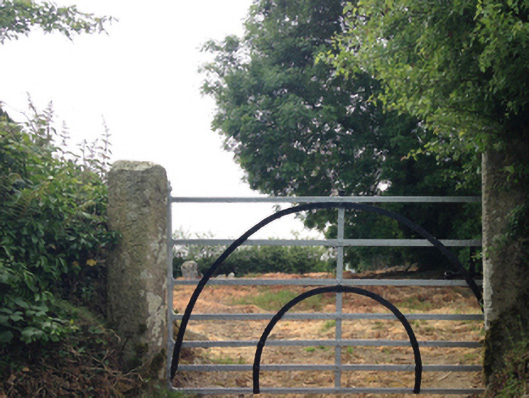 graveyard/cemeterygraveyard/cemetery · 122 yd
 IndicatedEcclesiastical enclosure · 154 yd
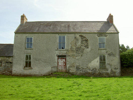 Killegney Housefarm house · 421 yd
 Embanked enclosureCastle, motte · 448 yd
 Enclosure in KillegneyEnclosure · 895 yd
 Ruin of a small castleRuins · 2.5 mi
 Carrickmastia HillMountain / peak · 2.9 mi
 1798 RebellionMemorial · 3.8 mi
 CarrigvahanaghMountain / peak · 4.5 mi
 1798 MemorialMemorial · 4.7 mi
 Silver WattleSilver Wattle · 5.8 mi
 Killoughrum ForestForest · 6.2 mi
Other information
Photo: Credit not shown in the picture search · Rights wording not checked; contact us if this picture should be removed