
What is recorded here
Marked on the 1839 and 1925 eds of the OS 6-inch map and described as Lady Well in gothic lettering on both. It is located at the bottom of a W-facing slope, c. 15m from the E bank of the tidal estuary of the NNW-SSE Tintern stream and c. 25m S of the old road between Clonmines and Fethard. This is a rectangular well (dims 0.6m NW-SE; c. 0.6m NE-SW; D 0.54m) within a masonry canopy (dims 2.18m NW-SE; 1.25m NE-SW) with an apex (H 1.17m) over the opening (H 0.8m) at SW where there is paved apron (dims 2.1m NE-SW; 1.2m NW-SE). There is no record of veneration and there are no offering, but a St. Bridget’s Cross is inscribed in cement over the opening. The church (WX045-029001-) is c. 90m to the E.
Compiled by: Michael Moore
Date of upload: 24 July, 2013
Linked to a tradition of healing and local devotion, Lady Well is associated with the veneration of the Virgin Mary, a common feature of many holy wells in Britain. The site likely served as a place of pilgrimage and ritual washing for ailments, reflecting medieval Christian practices that blended faith with folk healing customs.
The monument record does not grant public access. Check the route and ask the landowner before entering private land.
- What survives
- Recorded monument
Places near here
 kilnkiln · 25 yd
 Abbey Bridgebridge · 48 yd
 Grave YardGraveyard · 107 yd
 1798Memorial · 298 yd
 Field system in TinternField system · 475 yd
 Saltmills Explosion MemorialMemorial · 1288 yd
 Site of CastleCastle, unclassified · 1.6 mi
 CastleCastle, motte · 2.1 mi
 Grange BeachBeach / strand · 2.1 mi
 AshgroveVisitor information · 2.8 mi
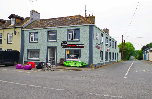 Hook Tourism (Fethard Office)Visitor information · 3.0 mi
 Bridges ChamberCave · 3.7 mi
Other information
Photo: A.-K. D. · CC BY-SA 4.0