What is recorded here
Thirty-five metres from the east shore of Lough Rinn, a twenty-metre island holds a flat-topped cairn twice as wide and three metres high. The 1907 map named it Lady Elizabeths Island, but no human hand has touched the stones since the water retired. Whatever Elizabeth claimed, the lake took it back. The cairn still stands, waiting for someone to remember why it was built.
A small island described as ‘Lady Elizabeth’s Island’ is depicted only on the 1907 edition of the OS 6-inch map c. 35m from the E shore of Lough Rinn (dims c. 3.8km N-S; c. 200-400m E-W). This is an overgrown island, irregular in plan (diam. of base c. 20m) with a flat topped cairn (diam. of base c. 10m; H 2-3m) in the centre. There is no evidence of timber construction around the base of the cairn, although it is possible that the cairn obscures such evidence.
Compiled by: Michael Moore
Date of upload: 7 January 2020
The monument record does not grant public access. Check the route and ask the landowner before entering private land.
- What survives
- Recorded monument
Places near here
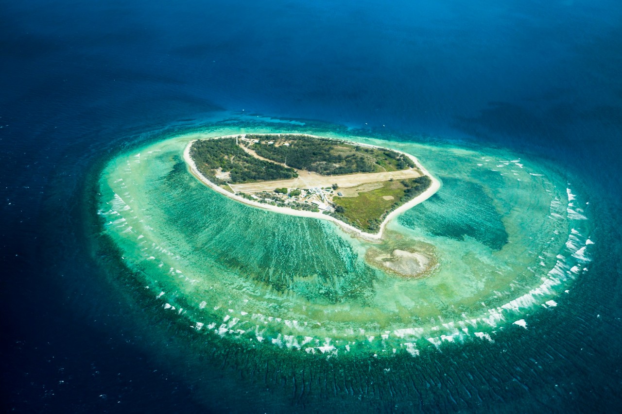 Lady Elizabeth's IslandIslet · 6 yd
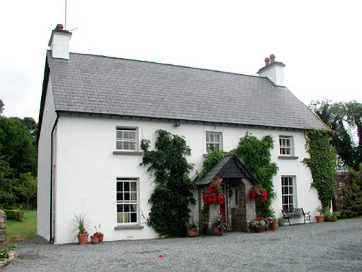 Clooncoe Househouse · 453 yd
 CastleCastle, tower house · 733 yd
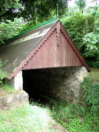 Lough Rynn Houseboathouse · 738 yd
 Holm OakHolm Oak · 767 yd
 Western HemlockWestern Hemlock · 786 yd
 Druid's AltarArchaeological place · 800 yd
 Duck IslandIslet · 1634 yd
 Holy WellHoly well · 1.1 mi
 OratoryCastle, tower house · 1.2 mi
 Giant's GraveArchaeological place · 1.8 mi
 Turlough O'Carolan MonumentHeritage attraction · 2.7 mi