
What is recorded here
In rough, rocky upland pasture, located on a grassy terrace backed on the S side by a steeply rising slope, broken by rock-outcropping. Ground falls away to NW and N in a series of rough, rocky terraces, and a narrow rocky ravine c. 100m to NW leads W down to the cliff-edged shoreline. Lough Free is located c. 500m to W. A high ridge, Dunmore Hill, rises to N. There is a spring/stream 10m to NW.
Low circular platform (13m NW−SE; 12m NE−SW) defined by a scarp (H 0.3m at NE−E; 0.6m SW−W) topped by remnants of a stone bank/wall. The platform is built up on the W half to compensate for the natural fall of ground and create a level interior. The enclosing wall (Wth 1.2−1.4m) consists merely of intermittent stones barely protruding from the sod, representing the inner and outer kerb of the wall. There are relict cultivation ridges on the terrace surrounding the enclosure.
Attached images:
DG064-029----_01.JPG Enclosure viewed from W
DG064-029----_02.JPG Enclosure viewed from E
Compiled by: Jane O’Shaughnessy
Date of upload: 22 July 2021
The monument record does not grant public access. Check the route and ask the landowner before entering private land.
- What survives
- Recorded monument
Places near here
 Lackagh EnclosureEnclosure · 695 yd
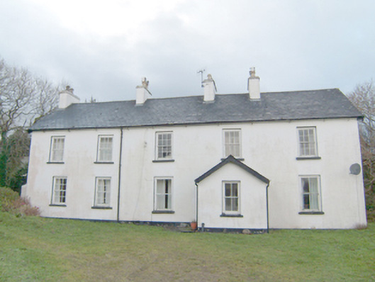 Swan Mounthouse · 1139 yd
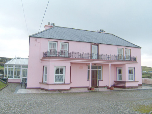 Inisfree Househouse · 1283 yd
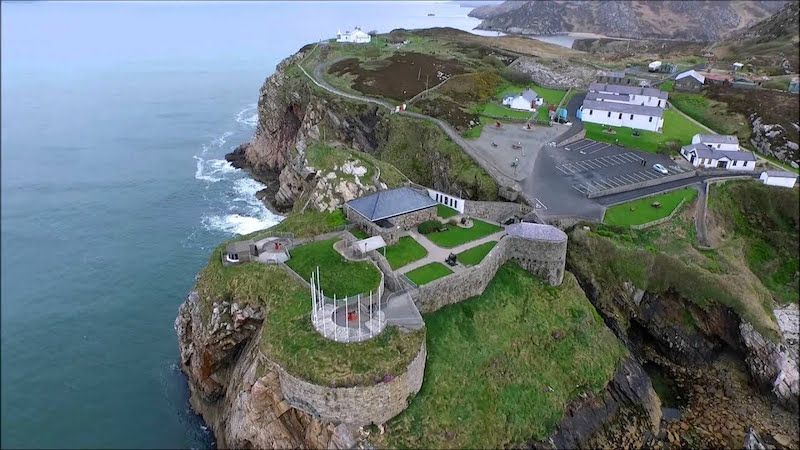 Drumboghill Island Stone FortFairy fort / stone ringfort · 1499 yd
 InishkeelIslet · 1.3 mi
 Doon FortFairy fort / stone ringfort · 1.3 mi
 Narin–Portnoo StrandOfficial bathing water · 1.5 mi
 Bawn in KiltoorisBawn · 1.8 mi
 CastleRuins · 1.8 mi
 Tramore StrandBeach / strand · 2.7 mi
 Carrickalahagh HeadlandPublicly named cliff or headland · 3.1 mi
 Bonny Glen WoodForest recreation place · 3.4 mi
Other information
Photo: Credit not shown in the picture search · Rights wording not checked; contact us if this picture should be removed