
What is recorded here
In pasture, located on a terrace on a rocky ridge overlooking Gweebarra Bay, with Portnoo beach and Inishkeel Island visible to SE. It is overlooked immediately to S−NW by rising ground, broken by rock outcropping. To N the ground slopes away for c. 100m then drops steeply to a rocky shoreline.
This enclosure is not shown on the OS 6-inch maps, although the curving field wall which skirts its W side is depicted.
Subrectangular area (24.4m E−W; 21m N−S), with rounded corners, defined by a sod-covered stone bank/wall (Wth 1.6-1.8m; int. H 0.2-0.3m; ext. H 0.6-0.65m at E and W), which incorporates large stones and boulders, now largely concealed by sod. The wall appears more substantial on the W side where it is incorporated into a later, now ruined, field wall which extends beyond the enclosure to N and S. On the S arc the wall is built against the rising ridge slope, giving it a pronounced internal slope (int. H 1m) and a very low external lip (ext. H 0.1m). On the E side, where ground falls away gently, the wall is low internally and has a broadly slumped external slope. The wall is rather low (int. H 0.2m; ext. H 0.3m) and broken down at N, where there are a few narrow eroded breaks (Wth c. 1m), but no clearly defined entrance gap. The interior is level and grassy.
Attached images:
DG064-028----_01.JPG Enclosure viewed from W
DG064-028----_02.JPG Enclosure viewed from NE
DG064-028----_03.JPG Enclosing wall at S
DG064-028----_04.JPG Enclosing wall at E
Compiled by: Jane O’Shaughnessy
Date of upload: 22 July 2021
The monument record does not grant public access. Check the route and ask the landowner before entering private land.
- What survives
- Recorded monument
Places near here
 Lackagh Enclosure near Dunmore HeadEnclosure · 695 yd
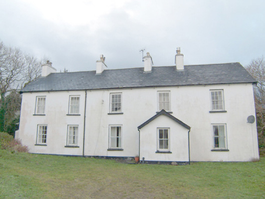 Swan Mounthouse · 893 yd
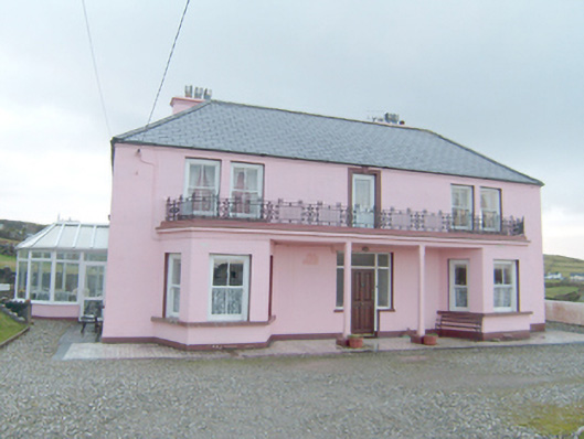 Inisfree Househouse · 905 yd
 InishkeelIslet · 1530 yd
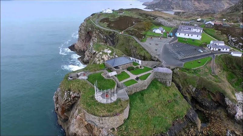 Drumboghill Island Stone FortFairy fort / stone ringfort · 1596 yd
 Narin–Portnoo StrandOfficial bathing water · 1.2 mi
 Doon FortFairy fort / stone ringfort · 1.3 mi
 Bawn in KiltoorisBawn · 2.1 mi
 CastleRuins · 2.1 mi
 Tramore StrandBeach / strand · 2.9 mi
 Bonny Glen WoodForest recreation place · 3.1 mi
 Bonny Glen Wood - Bonny Glen walkOfficial walking route · 3.2 mi
Other information
Photo: Credit not shown in the picture search · Rights wording not checked; contact us if this picture should be removed