What is recorded here
Lackabaun is recorded as a mountain / peak in County Cork. Its open map record supplies this location and any linked names or public references.
Lackabaun has a rough elevation of around 500 meters and is part of the broader Knockmealdown Mountains range. It is known for its upland heath and quartzite geology, common in the region. The area is valued for its natural heritage and walking opportunities in the Cork and Tipperary borderlands.
Places near here
 MweelinMountain / peak · 1.2 mi
 Wedge tomb in An Goirtín FliuchWedge tomb · 1.3 mi
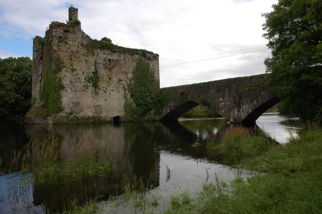 Man-made underground passage in Carraig Na DamhaireMan-made underground passage · 1.8 mi
 An Coimín BuíMountain / peak · 2.3 mi
 Augeris Church (in Ruins)Church · 2.5 mi
 Inchee Br.Bridge · 2.9 mi
 Gougane BarraValley and heritage place · 3.1 mi
 European ashEuropean ash · 3.2 mi
 Sli Gaeltacht MuscraiWalking route · 3.2 mi
 Kilgarvan Motor MuseumMuseum · 6.1 mi
 Battle of Callannbattle · 6.3 mi
 Great Southern & Western RailwayMemorial · 6.6 mi