Places near here
Photo credits
- Hajotthu, Wikimedia Commons · CC BY-SA 3.0
- dalvenjah on Flickr, Wikimedia Commons · CC BY-SA 2.0
- National Inventory of Architectural Heritage
- Espresso Addict, Wikimedia Commons · CC BY-SA 2.0
- Kahuroa, Wikimedia Commons · Public domain
- Patrice78500, Wikimedia Commons · Public domain
- Kmcnamee, Wikimedia Commons · CC BY-SA 4.0
- Dr. Charles Nelson, Wikimedia Commons · CC BY-SA 2.0
- Espresso Addict, Geograph · CC BY-SA 2.0
- Alan Reid, Geograph · CC BY-SA 2.0
- Jonathan Wilkins, Wikimedia Commons · CC BY-SA 2.0
 Kylemore AbbeyMausoleum · 681 yd
Explorer Tom Kylemore Abbey’s mausoleum is the quiet cousin at the wedding, wearing yellow bricks that scream 'I’m different'. It…
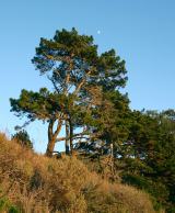 Monterey Pine972 yd
Explorer Tom Monterey Pine in County Galway once saw a fox try to climb it but get stuck halfway up because the branches were too…
 Kylemore Farm HouseSteward's house · 1119 yd
Explorer Tom Kylemore Farm House would teach history by making you stand outside in the rain until you understood Tudor Revival.…
 Cnoc BreacMountain / peak · 1592 yd
Explorer Tom Cnoc Breac is playing hide-and-seek between Benbrack and Knockbrack, hiding behind a deer fence like it's got somewhere…
 BenbaunMountain / peak · 1615 yd
Explorer Tom Benbaun would explain the 1800s to a teenager by saying: 'It was basically a group chat where everyone shouted and…
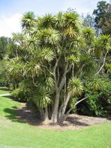 Cabbage tree1.3 mi
Explorer Tom Cabbage tree in County Galway looks like it’s waiting for a bishop who refused to visit because the leaves were too…
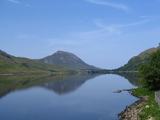 Binn GhuaireMountain / peak · 1.5 mi
Explorer Tom Diamond Hill glitters, but I have found no jeweller at the top. Binn Ghuaire, better known as Diamond Hill, rises 442…
 Letterfrack, Renvyle GAAGAA ground · 2.6 mi
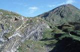 Connemara National ParkNational park · 2.6 mi
Explorer Tom I came to Connemara National Park ready to admire the mountains and got distracted by plants that eat their dinner.…
 Lettergesh BeachBeach / strand · 3.6 mi
Explorer Tom Lettergesh Beach on the Renvyle Peninsula spreads its sand beneath a grand Connemara skyline, with Mweelrea across the…
 Glassilaun BeachBeach / strand · 4.1 mi
Explorer Tom Glassilaun Beach lies near the mouth of Killary Harbour, where white sand opens towards the water and Mweelrea rises…
 Crump IslandIslet · 6.8 mi
Explorer Tom Crump Island is an islet where a poet once fell into a ditch and wrote a sonnet about mud, which is now considered high…
More historic places in County Galway · All of County Galway

What do you know about this place?Tap to add a comment or ask a question