What is recorded here
Situated on the SE-facing slope of a ravine overlooking a stream immediately to the SE. An overgrown semicircular area enclosed by a low earthen bank. Impossible to examine due to dense cover of vegetation.
The above description is derived from 'The Archaeological Inventory of County Tipperary. Vol. 1 - North Tipperary' compiled by Jean Farrelly and Caimin O'Brien (Dublin: Stationery Office, 2002). In certain instances the entries have been revised and updated in the light of recent research.
Date of upload/revision: 22 September 2008
The monument record does not grant public access. Check the route and ask the landowner before entering private land.
- What survives
- Recorded monument
Places near here
 KylenabausteeArchaeological place · 3 yd
 Patricks WellHoly well · 641 yd
 Saint Patrick's RockNamed rock · 773 yd
 Millenium CrossHeritage attraction · 1049 yd
 Laghtea HillMountain / peak · 1117 yd
 TountinnaMountain / peak · 1.1 mi
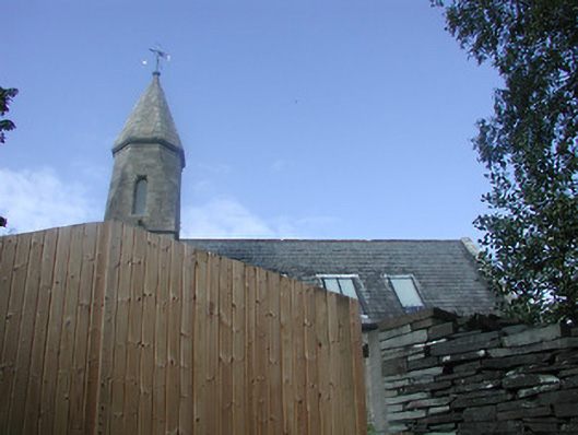 Castletown Church (Castletownarra)church/chapel · 1.1 mi
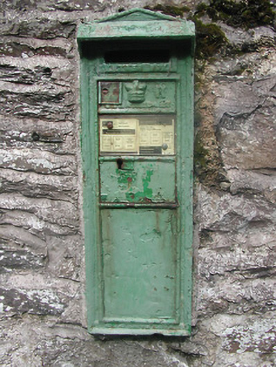 post boxpost box · 1.2 mi
 Townlough CastleCastle · 1.4 mi
 Castle in ruinsCastle, unclassified · 1.5 mi
 Giant's GraveArchaeological place · 1.6 mi
 Model Farm 1850Heritage attraction · 2.0 mi