What is recorded here
Kyle is recorded as an archaeological place in County Limerick.
From OpenStreetMap (© OpenStreetMap contributors) w1526841218
Places near here
Photo credits
- National Inventory of Architectural Heritage
- Created by Kglavin Modified Aug 2007 by Mike Christie, Wikimedia Commons · CC BY-SA 3.0
- dougf, Geograph · CC BY-SA 2.0
- Willow, Wikimedia Commons · CC BY 2.5
- Vadim Manuylov, Wikimedia Commons · CC BY-SA 3.0
- A.-K. D., Wikimedia Commons · CC BY-SA 4.0
Enclosure in CahermoyleEnclosure · 196 yd Cahermoyle HouseCountry house, church/chapel · 583 ydSt. Luke's WellSpring · 648 ydwater pump895 ydCathair MaothailHouse, steward's house · 1116 ydRathgoonan HouseCountry house · 1156 ydArdagh FortArchaeological place · 1.4 miShanid CastleCastle · 3.8 miShanid Castle (in ruins)Castle, Anglo-Norman masonry castle · 3.9 miEuropean ash4.4 miMonterey Cypress7.7 miSaint Ite's WellSpring · 9.0 mi
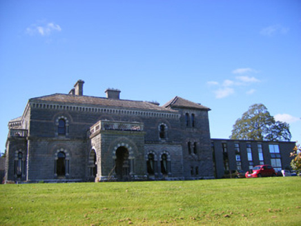 Cahermoyle HouseCountry house, church/chapel · 583 ydSt. Luke's WellSpring · 648 yd
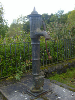 water pump895 yd
 Cathair MaothailHouse, steward's house · 1116 yd
 Rathgoonan HouseCountry house · 1156 yd
 Ardagh FortArchaeological place · 1.4 mi
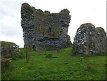 Shanid CastleCastle · 3.8 mi
 Shanid Castle (in ruins)Castle, Anglo-Norman masonry castle · 3.9 mi
 European ash4.4 mi
 Monterey Cypress7.7 mi
 Saint Ite's WellSpring · 9.0 mi
More archaeology and monuments in County Limerick · All of County Limerick
What do you know about this place?