What is recorded here
Situated on SE facing slope of rising ground in mountainous area. circular area enclosed by roughly coursed wall (H 1.3m; wall T 0.4m) of 19th century date with two 20th century headstones visible in graveyard. Still used as a burial ground.
Compiled by: Jean Farrelly and Caimin O'Brien
Date of upload/revision: 22 September 2008
The monument record does not grant public access. Check the route and ask the landowner before entering private land.
- What survives
- Recorded monument
Places near here
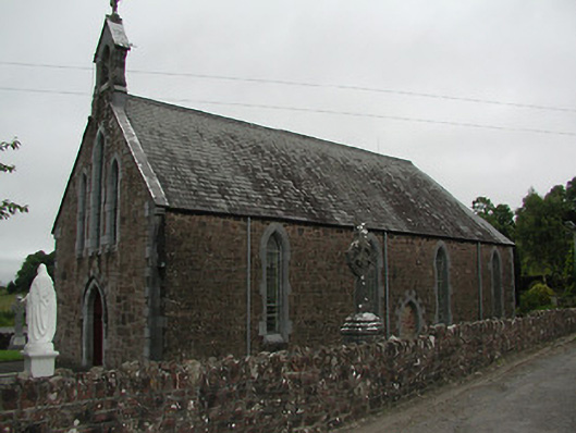 Catholic Church of Our Lady of the Waysidechurch/chapel · 461 yd
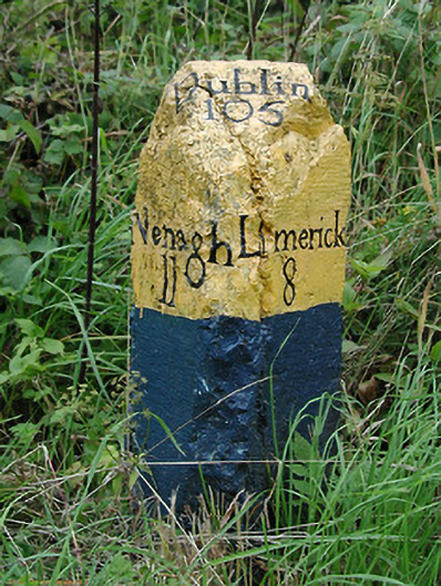 milestone/milepostmilestone/milepost · 474 yd
 CastleCastle, unclassified · 657 yd
 Fulacht fianFulacht fia · 993 yd
 The Pollagh TrailNature reserve · 1567 yd
 Cast Iron BridgeHeritage attraction · 1.3 mi
 Enclosure in O'brien's BridgeEnclosure · 1.6 mi
 The CapstanHeritage attraction · 1.9 mi
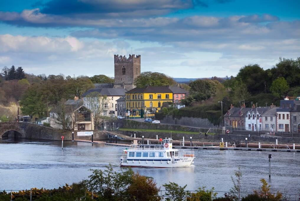 Cloghaneena (in ruins)Castle, hall-house · 3.2 mi
 Kilroughil Graveyard (Site of)Archaeological place · 3.2 mi
 Brian Boru Heritage CentreVisitor information · 3.4 mi
 BallycuggaranForest · 4.7 mi