What is recorded here
Circular enclosure indicated on the 'OSI 1st edition map' (map dims. diam. c. 46m). Area named 'Knockrath' on the 1937 OSI 6-inch map although the enclosure appears to have been levelled by then. No evidence for this was found when the area was being developed in 1989 (SMR file).
From the National Monuments Service (Archaeological Survey of Ireland) record WI008-018
The monument record does not grant public access. Check the route and ask the landowner before entering private land.
- What survives
- Recorded monument
Places near here
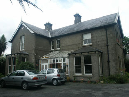 KnockrathHouse · 104 yd
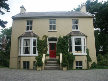 FairholmeHouse · 192 yd
 The CoveBeach / strand · 942 yd
 Kindlestown Castle (in ruins)Castle, hall-house · 1267 ydRathdown Castle (in ruins)Castle, unclassified · 1289 yd
 Greystones South BeachBeach / strand · 1354 ydDelgany Heritage TrailWalking route · 1.1 miIndicatedHillfort · 1.1 mi
 Tuliptree1.4 mi
 Glen of the DownsNature reserve · 1.9 mi
 Bray Greystones ViewViewpoint · 2.0 mi
 Little Sugar LoafMountain / peak · 2.1 mi
Pictures: National Inventory of Architectural Heritage; Michael Dibb, Geograph · CC BY-SA 2.0; Aoifer, Wikimedia Commons · CC BY-SA 4.0; Eirian Evans, Geograph · CC BY-SA 2.0; Jean-Pol GRANDMONT, Wikimedia Commons · CC BY 3.0; Klondikeger, Wikimedia Commons · CC BY-SA 4.0; David Quinn, Geograph · CC BY-SA 2.0; Sarah777 at English Wikipedia, Wikimedia Commons · Public domain
More archaeology and monuments in County Wicklow · All of County Wicklow
What do you know about this place?