
What is recorded here
On level ground which has been reclaimed. There is a small area (dims. c. 30m E-W; c. 12m N-S) of quarrying for sand S of the monument. The former curvilinear River Glory, which has been straightened, flows c. 40m to the S before bending northward and continues c. 70m to the E. In Gothic script, 'Knocknashanoge' is indicated on the 1st (1839) ed. OS 6-inch map immediately W of a small roughly circular (diam. c. 20m) enclosure with another subrectangular enclosure (dims. c. 20m NW-SE; c. 24m NE-SW) adjoining to the NW. These are not indicated on the 1901 revision. 'Knock' is an anglicised version of cnoc meaning hill and Dinneen (1927) gives the meaning of 'seanóge' as 'the old Irish hood-cloak'. There is no visible trace of this monument at ground level.
Compiled by: Jean Farrelly
Date of upload: 9 August 2023
This remains an important historical record, but the official description says the monument is no longer visible or has been destroyed. The monument record does not grant public access. Check the route and ask the landowner before entering private land.
- What survives
- No visible remains or recorded as destroyed
Places near here
 Church in KildrummyChurch · 1216 yd
 Currahill Castle (in ruins)Castle, tower house · 1565 yd
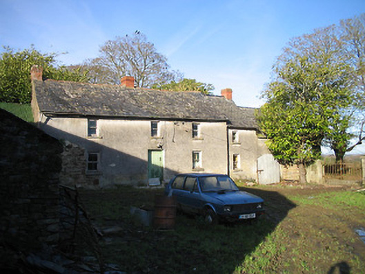 farm housefarm house · 1.2 mi
 Moated site in Rossaneny (reade)Moated site · 1.4 mi
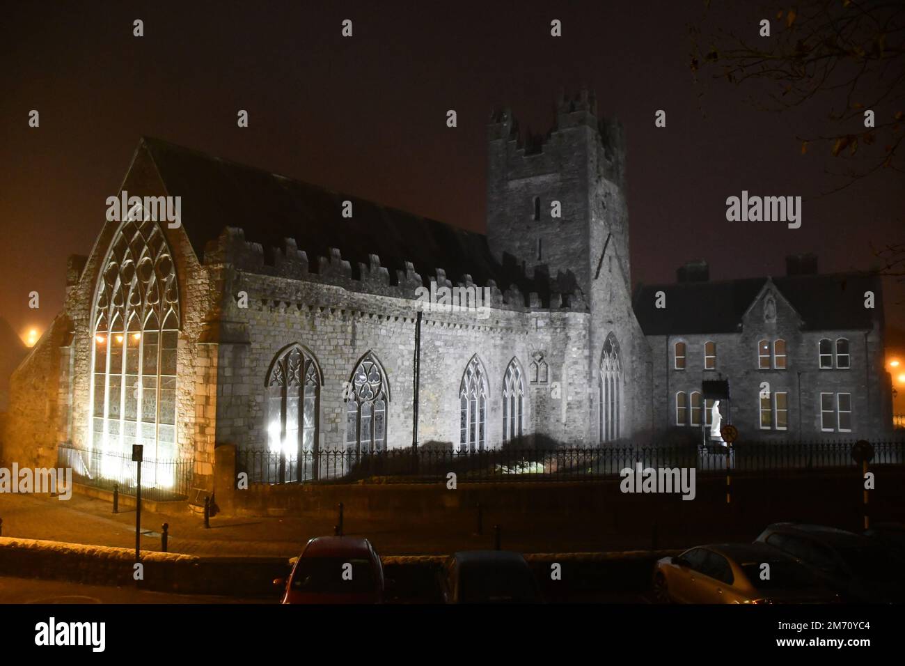 IndicatedEnclosure · 1.5 mi
 Coolaghmore National SchoolMemorial · 1.9 mi
 HawthornHawthorn · 2.0 mi
 James (Jim) McKennaMemorial · 2.1 mi
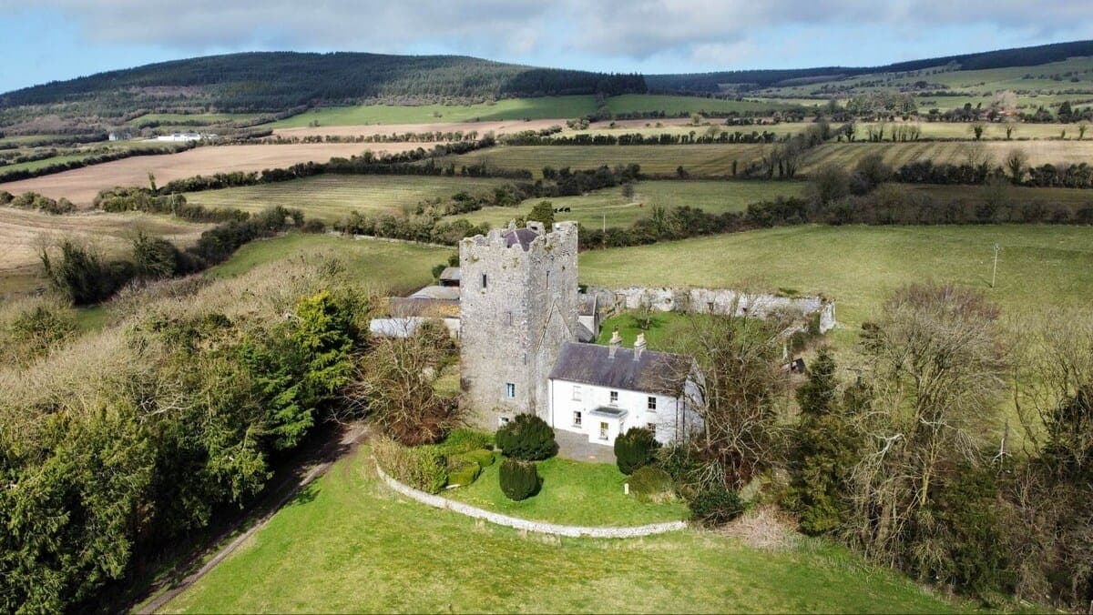 CastleCastle, tower house · 2.1 mi
 Collins PaddockForest · 2.3 mi
 Knockroe Passage TombVisitor information · 3.3 mi
 KillameryVisitor information · 3.4 mi
Other information
Photo: Credit not shown in the picture search · Rights wording not checked; contact us if this picture should be removed