
What is recorded here
From OpenStreetMap (© OpenStreetMap contributors) n3096524766
Places near here
Photo credits
- Maker not stated on source page, www.visitgalway.ie
- Maker not stated on source page, en.wikipedia.org
- Maker not stated on source page, ayrshireandarran.com
- Maker not stated on source page, za.pinterest.com
- Killyhommon Primary School; photographer not named, www.killyhommonps.com
- Maker not stated on source page, ru.pinterest.com
- Sometimes Incoherent, Wikimedia Commons · CC BY 3.0
- Maker not stated on source page, www.fermanaghlakelands.com
- Jacobfrid, Wikimedia Commons · CC BY-SA 4.0
- NTF30, Wikimedia Commons · CC BY-SA 4.0
- Michael Murtagh, Geograph · CC BY-SA 2.0
- Maker not stated on source page, www.gettyimages.dk
 Megalithic tomb? (unlocated) in Knock MoreMegalithic tomb? (unlocated) · 496 yd
Explorer Tom Megalithic tomb? in Knock More is unlocated, which means it’s playing hide-and-seek with the entire government. I bet…
 Court tomb: giant's grave in Rossinure BegCourt Tomb: Giant's Grave · 1202 yd
Explorer Tom Court tomb: giant's grave in Rossinure Beg once smuggled a whole wheelbarrow of stolen potatoes through its passage…
 Booley hut: giants graveyard in Rossinure BegBooley Hut: Giants Graveyard · 1.6 mi
Explorer Tom Booley hut: giants graveyard in Rossinure Beg suggests the giants lived in tiny huts and complained about the drafts.…
 Dry-stone structure, possibly sweat house in DromoreDry-stone Structure, possibly Sweat House · 1.8 mi
Explorer Tom Dry-stone structure, Possibly sweat house in Dromore nearly got famous when someone thought it was a UFO landing pad.…
 Canon Maguire ParkGAA ground · 2.0 mi
 Mapped graveyardGraveyard · 3.1 mi
Explorer Tom This one’s got its eyes firmly fixed on the horizon, probably waiting for tourists from Dublin to show up and ask if…
 Pollnagollum CaveCave · 5.0 mi
Explorer Tom Pollnagollum Cave would be terrible on a reality show because it refuses to talk to the other caves. It’s got that…
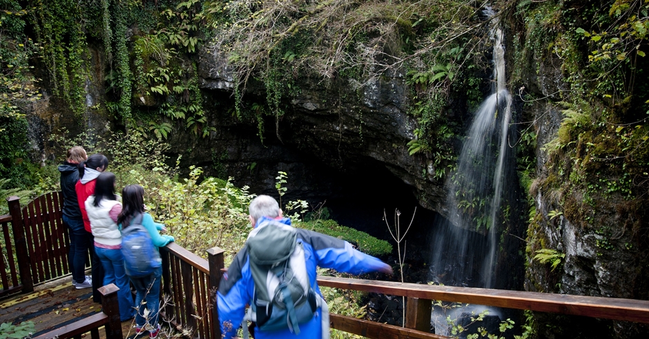 Belmore Forest - Pollnagollum Cave WalkWalking route · 5.1 mi
Explorer Tom Belmore Forest - Pollnagollum Cave Walk has seagulls that constantly gossip about how dark and damp it gets inside the…
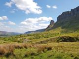 Eagle's RockMountain / peak · 20 mi
Explorer Tom Eagle's Rock is under a curse that only hits people who forget to wave at it properly on the way past. It's a very…
 TievebaunMountain / peak · 20 mi
Explorer Tom Tievebaun is a mountain that can be seen all the way from Sligo beach, which makes it feel like a celebrity who refuses…
 Keelogyboy Mountain ne TopMountain / peak · 20 mi
Explorer Tom Keelogyboy Mountain NE Top has been hiding a scandal involving a missing chalice for centuries, and it's getting quite…
 Church (in Ruins)Church · 21 mi
Explorer Tom Church in Cartron is probably the estate church that just wanted to be left alone by the castle. It’s sitting there…
More mountains and hills in County Fermanagh · All of County Fermanagh

What do you know about this place?Tap to add a comment or ask a question