What is recorded here
At the S end of a ridge in grassland. Very poorly preserved oval rath (51.5m N-S; 33.5m E-W)
defined by a scarp. A silage pit has been dug into the interior at E. A rectangular hollow in the NW quadrant is the result of quarrying. A children’s burial ground (GA108-206001-) is associated.
Compiled by: Galway Archaeological Survey, UCG
Date of upload: 27 February 2018
The monument record does not grant public access. Check the route and ask the landowner before entering private land.
- What survives
- Recorded monument
Places near here
 KnockaunnabastyArchaeological place · 7 yd
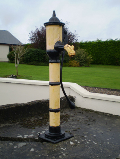 water pumpwater pump · 204 yd
 Enclosure in Derry (longford By.)Enclosure · 607 yd
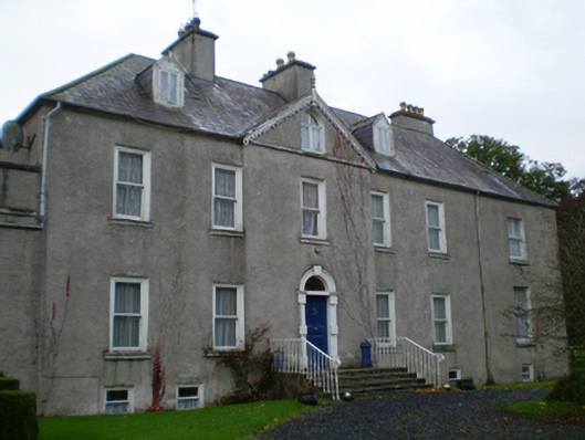 Prospecthouse · 1000 yd
 Lismore CastleCastle, tower house · 1.7 mi
 CastleCastle, unclassified · 1.8 mi
 Friars IslandIsland · 1.9 mi
 Killeen's IslandIsland · 2.0 mi
 MeelickVisitor information · 2.1 mi
 Redmond HillMountain / peak · 2.8 mi
 Cregg WoodForest · 3.6 mi
 European ashEuropean ash · 3.9 mi