What is recorded here
Knockannevin Fort is a low oval rath on a north-facing slope above Lough Rea, preserving the usual shape of an early medieval Irish farmstead. Its bank has survived centuries of ploughing and later field walls, suggesting that people kept returning to this visible place even as they changed its edges. The fort may have housed a family, stored grain and watched the lake, while local stories still call it a fairy fort because ordinary life and strange belief shared the same ground.
On the N-facing slope of a low hill overlooking Lough Rea. Poorly preserved oval rath (29.5m N-S; 25.5m E-W) defined by a low bank. A field wall borders the monument from S to SW.
Compiled by: Galway Archaeological Survey, UCG
Date of upload: 4 December 2017
The monument record does not grant public access. Check the route and ask the landowner before entering private land.
- What survives
- Recorded monument
Places near here
 Ash IslandIslet · 372 yd
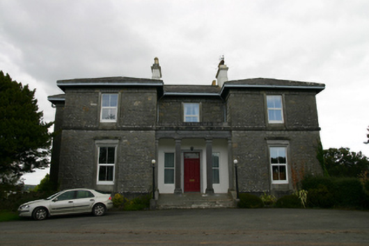 Coorheen Housecountry house · 729 yd
 Enclosure in Grange (loughrea By.)Enclosure · 840 yd
 LisnarahaFairy fort / stone ringfort · 958 yd
 Island McCooIslet · 1285 yd
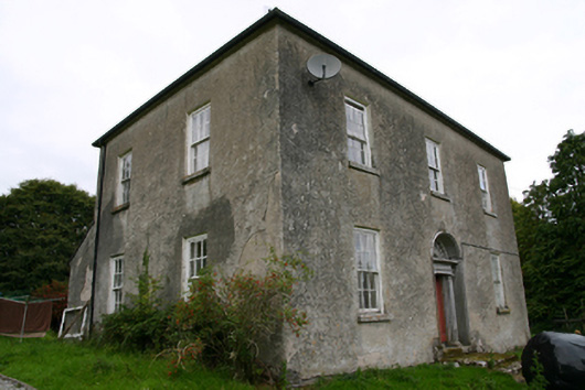 Glenvillecountry house · 1464 yd
 Long PointHeadland · 1707 yd
 Site of CastleCastle, unclassified · 1.6 mi
 Site of Cloonoo CastleCastle, unclassified · 2.0 mi
 Scalpeen RockNamed rock · 4.2 mi
 Turoe StoneHeritage attraction · 5.1 mi
 Dartfield Horse MuseumHeritage attraction · 5.4 mi