
What is recorded here
Situated on top of a hillock. Listed as 'Enclosure' in the SMR (1992) and the RMP (1996). A raised circular grass-covered area (diam. 34.4m E-W; 32.7m N-S) defined by a scarp (H 0.7-0.8m generally to 1.2m at E), except SW-N where there is a drystone wall with some coniferous trees growing outside it. There is no visible fosse, but there are ramp entrances at NNE (Wth 6m) and SSW (Wth 3m), both of which are used as modern entrances.
Compiled by: Michael Moore
Date of upload: 27 April 2016
Knockagure Fort is a likely early-medieval ringfort situated on a hillock, characterized by a circular, grass-covered area with a scarp up to 1.2m high on the eastern side. Local tradition may associate such sites with fairy lore, as ringforts were often believed to be entrances to the Otherworld or inhabited by supernatural beings in Irish folklore.
The monument record does not grant public access. Check the route and ask the landowner before entering private land.
- What survives
- Recorded monument
Places near here
 Knockreagh FortFairy fort / earthen ringfort · 223 yd
 IndicatedEnclosure · 547 yd
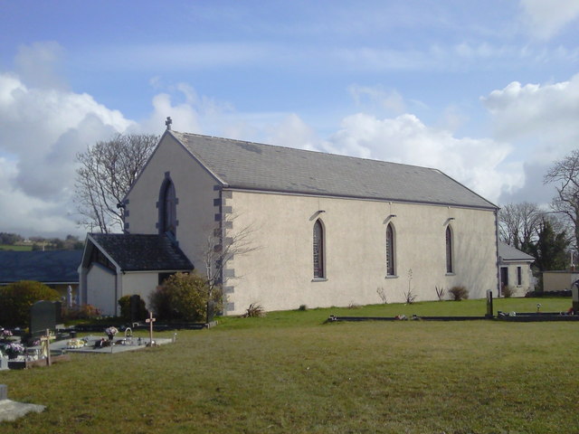 Saint Joseph's Catholic Churchchurch/chapel · 966 yd
 Shallee Castle (in Ruins)Castle, tower house · 1617 yd
 CastleCastle, unclassified · 1.4 mi
 Bushypark Househouse · 1.6 mi
 Poul na gollorCave · 2.6 mi
 Post Office FieldNature reserve · 4.0 mi
 Alice and Gwendoline CaveMuseum · 4.1 mi
 Ennis AbbeyMuseum · 4.2 mi
 Clare MuseumMuseum · 4.2 mi
 Rockmount WoodWood · 4.3 mi
Other information
Photo: Credit not shown in the picture search · Rights wording not checked; contact us if this picture should be removed