What is recorded here
Surveyed in 2013 and described by McGuinness (2014, 44-5) as following: 'Although the survey-team was unable to gain access to the monument this season, it was described twice by ASI fieldworkers in the 1970s; and LIDAR data is now available. The 1973 ASI account: This is a small circular barrow about 2m high at its maximum height, & approx 9m in diam. The barrow is surrounded by a wide fosse with a wide low bank outside. The barrow is quite overgrown & is situated on a rise in rather rushy pasture land. There are wide views of the surrounding countryside from the barrow. [SMR file] And the 1977 account: This well-defined circular site consists of a central mound surrounded by a fosse and outer bank. The outer bank is highest to N and S, and lowest to E and W. The ground slopes away steeply from the site on all sides, except to NW where a hillock overlooks the site. The site supports many trees but is clear of undergrowth. There are extensive views from the site, especially to W & S.... Diameter of mound N-S = 10.5m [SMR file].
From these descriptions, the monument appears to be a ring-barrow; the LIDAR images given here show it to be moulded from a natural knoll, such that the bank is much lower than the central mound, and the ditch appears almost like a step. The monument seems to be depicted as stepped on historic OS 25” map on OSI website, where it is marked Knisheen Fort; a spring is shown less than 20m to N. A second, similar knoll is conjoined to the first at NW side, although no archaeological feature has been documented here'.
Compiled by: Caimin O'Brien based on details provided by David McGuinness.
Date of upload: 23 February 2015
The monument record does not grant public access. Check the route and ask the landowner before entering private land.
- What survives
- Recorded monument
Places near here
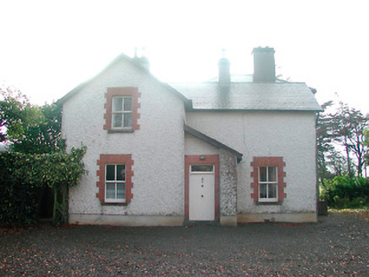
 KilnahornaChurch · 1100 yd
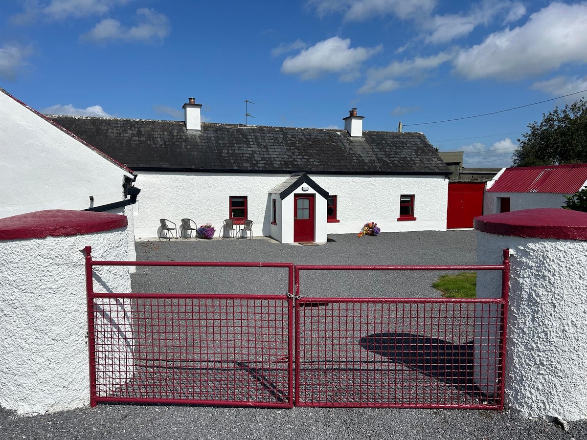
 Ardnaglew Cottagehouse · 1219 yd
 Ardan WoodWood · 1497 yd
 OutlinedFairy fort / ringfort · 1701 yd
 Bonfire HillMountain / peak · 1.1 mi
 Ecclesiastical enclosure in NewtownlowEcclesiastical enclosure · 1.1 mi
 Lows Castle (in Ruins)Castle, unclassified · 1.2 mi
 Rahugh MoatCastle, motte and bailey · 2.2 mi
 Durrow HillMountain / peak · 2.9 mi
 Bracklin WoodWood · 3.5 mi
 St. Columba's WellSpring · 4.0 mi
 Grand Canal WayWalking route · 6.2 mi