
What is recorded here
From OpenStreetMap (© OpenStreetMap contributors) w808383702
Places near here
Photo credits
- Aubrey Dale, Wikimedia Commons · CC BY-SA 2.0
- Golfing in Ireland; photographer not stated, Source publisher
- Maker not stated on source page, www.pinterest.com
- Picture: Sharon Cosgrove
- Maker not stated on source page, en.wikipedia.org
- Maker not stated on source page, commons.wikimedia.org
- Eric Jones, Wikimedia Commons · CC BY-SA 2.0
- Kenneth Allen, Wikimedia Commons
- Eric Jones, commons.wikimedia.org
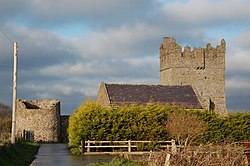 Kirkistown CastleCastle · 235 yd
Explorer Tom Kirkistown Castle is pretending to be from 1500, but I’m calling its bluff; it looks like a weekend DIY project that…
Tower-house and bawn: kirkistown castle in KirkistownTower-house and Bawn: Kirkistown Castle · 237 ydExplorer Tom Kirkistown castle in Kirkistown got lost by the Vikings, who were clearly not great with directions back then. It’s the…
 Kirkistown Castle Golf ClubGolf course · 1108 yd
 Slan's GraveyardGraveyard · 1.8 mi
Explorer Tom Slan's Graveyard in County Down was once the site where a priest lost a bet involving a bagpipe and a horse. The…
 Church; graveyard; cross slab and Man-made underground passage in SlanesChurch · 1.8 mi
Explorer Tom Church, graveyard, cross slab and Man-made underground passage in Slanes has a cross slab that looks like it’s about to…
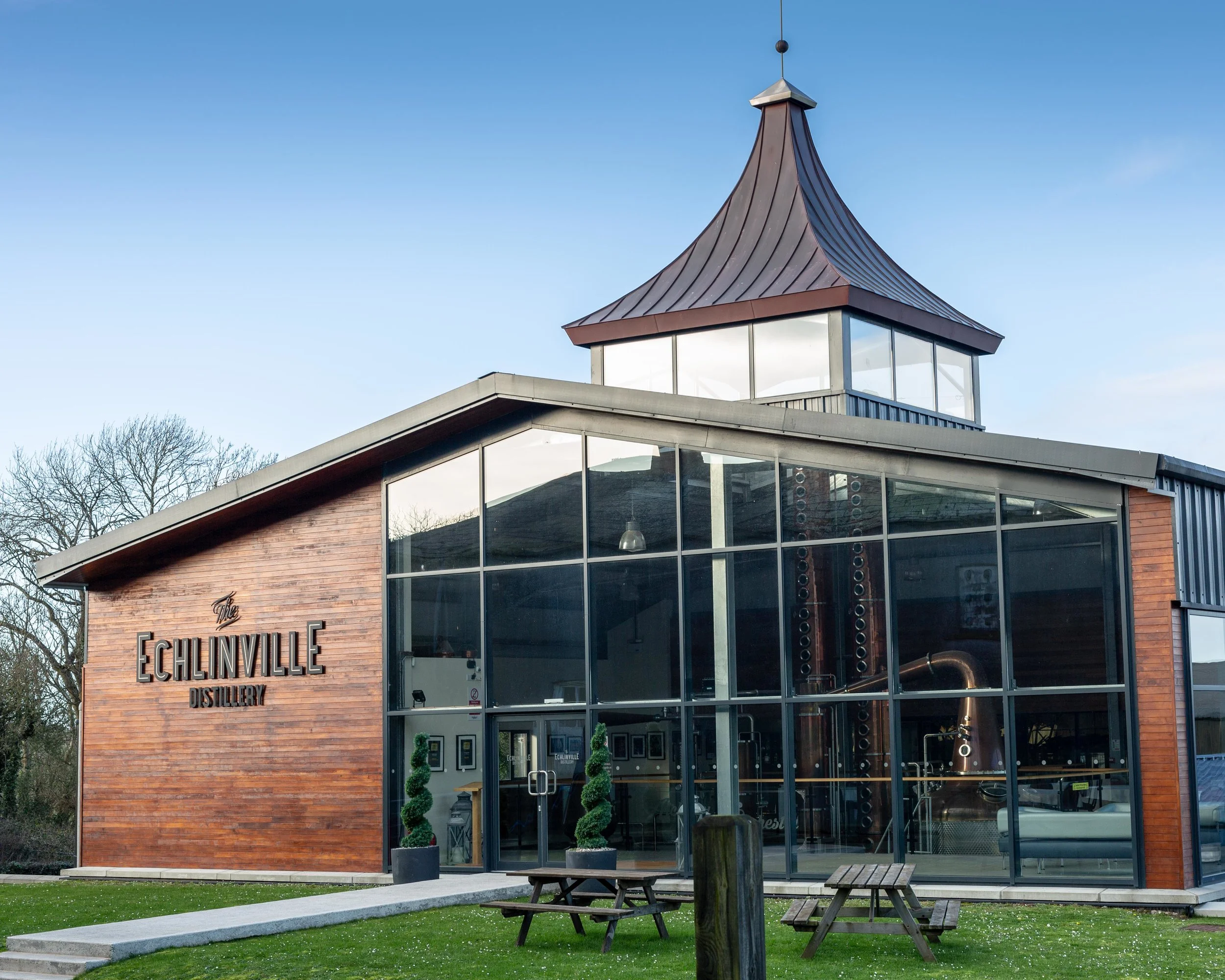 The Echlinville DistilleryHeritage attraction · 2.6 mi
Explorer Tom At 62 Gransha Road near Kircubbin, Echlinville Distillery begins its story in the Ards Peninsula fields, where the…
 Linear Earthwork, -parallel ditchesLinear Earthwork, -parallel ditches, probable ancient roadway · 4.1 mi
Explorer Tom This linear earthwork in Ballyrusley looks like someone tried to draw a straight line and gave up halfway through. It’s…
 Stone structure in KnockinelderStone Structure · 4.2 mi
Explorer Tom Stone structure in Knockinelder has no date, so it’s basically the eternal intern of archaeology, just hanging out…
 Portaferry Presbyterian ChurchChurch · 5.4 mi
Explorer Tom Ballyphilip’s Portaferry Presbyterian Church is a Grade A showpiece from the 1840s. In a job interview, it would say it…
 The Market HouseHall · 5.5 mi
Explorer Tom The Market House in Ballyphilip really means 'Place Where People Shout About Cabbage Prices' if you ask me. I made that…
 Exploris AquariumPublic aquarium · 5.5 mi
Explorer Tom Exploris Aquarium in Portaferry takes you below the surface of Strangford Lough's neighbourhood, then introduces…
 St. Patrick's Park, St. Patrick's GAA, PortaferryGAA ground · 5.6 mi
More memorials and graveyards in County Down · All of County Down

What do you know about this place?Tap to add a comment or ask a question