What is recorded here
Map note: Look up Kintyre Information Centre, visitor information near Tarbert, Argyll and Bute, Scotland. The map can show the spot, and you can judge the view for yourself.
From OpenStreetMap (© OpenStreetMap contributors) n2745756652
Places near here
Photo credits
- Wendy Kirkwood, Wikimedia Commons · CC BY-SA 2.0
- Maker not stated on source page, www.tripadvisor.co.uk
- Rob Farrow, Wikimedia Commons · CC BY-SA 2.0
- Maker not stated on source page, en.wikipedia.org
- The Carlisle Kid, Wikimedia Commons · CC BY-SA 2.0
- Euan Nelson, Wikimedia Commons · CC BY-SA 2.0
- James T M Towill, Wikimedia Commons · CC BY-SA 2.0
- Anne Burgess, Wikimedia Commons · CC BY-SA 2.0
- M J Richardson, Wikimedia Commons · CC BY-SA 2.0
- Maker not stated on source page, www.historichouses.org
- sylvia duckworth, Wikimedia Commons · CC BY-SA 2.0
 Tarbert, Castle Street, CottageCottage · 33 yd
 Tarbert, Church Street, Free ChurchChurch (mid 19th Century) · 48 yd
 Tarbert, Harbour Street, Tarbert HotelHotel (19th Century) · 81 yd
 Tarbert, Castle Street, United Free ChurchChurch (20th Century) - (20th Century) · 92 yd
 War MemorialMemorial · 289 yd
 Tarbert, Tarbert CastleCastle (medieval) · 305 yd
 Tarbert CastleRuins · 337 yd
 TarbertMarker Stone(s) · 455 yd
 Eilean a' ChòicIsland · 638 yd
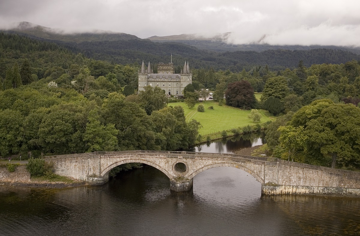 Inverary Castle: East Loch Tarbert, Lower Loch Fyne, Firth of ClydeSteamship (19th Century) · 676 yd
 East Loch TarbertBay · 851 yd
 West Loch TarbertEnclosure · 1437 yd
More viewpoints and information in Argyll and Bute · All of Argyll and Bute

What do you know about this place?Tap to add a comment or ask a question