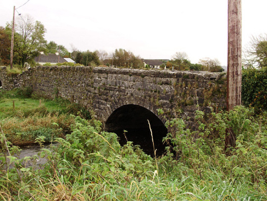
What is recorded here
Single-arch limestone road bridge over Clogharevaun River, built c.1780, with arch rebuilt c.1890. Coursed rock-faced rusticated walls to segmental arch, with similar voussoirs and limestone copings. Rubble walls to causeway to east with rubble copings, having round-headed relieving arch to wall, and overflow arches with cut-stone voussoirs.
This bridge is notable for its rock-faced copings and voussoirs which add textural variation juxtaposed against the earlier rubble walls. The earliest Ordnance Survey map shows a wider river channel, a more meandering route, and large areas liable to floods. Subsequent drainage schemes, presumably linked to the Attymon Junction to Loughrea light railway, altered the course of the river. It forms a technically interesting structure over the Clogharevaun River and can been viewed at a distance from the eastern approach, adding visual interest to the landscape.
This does not grant access. Most recorded buildings are privately owned; view them only from public ground unless the owner allows entry.
Places near here
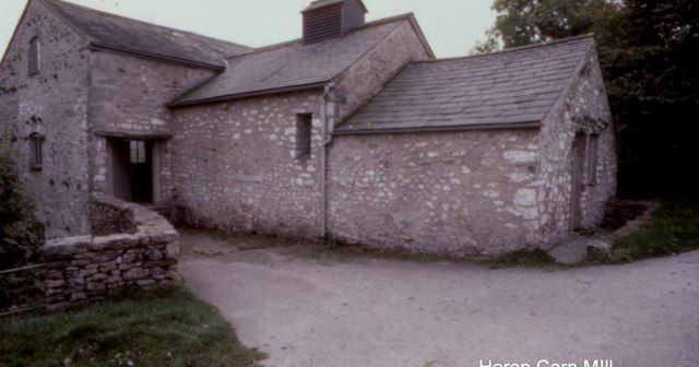 Corn MillMill, corn · 312 yd
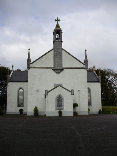 Catholic Church of Saint Peter and Saint Paulchurch/chapel · 454 yd
 Field system in ClogharevaunField system · 754 yd
 Font in Kiltullagh NorthFont · 995 yd
 Castle (in ruins)Castle, tower house · 1.0 mi
 MoteCastle, motte and bailey · 1.8 mi
 Turoe StoneHeritage attraction · 3.2 mi
 Moyard WoodWood · 3.3 mi
 Athenry AbbeyHeritage attraction · 5.0 mi
 Horse-chestnutHorse-chestnut · 5.2 mi
 First Battle of Athenrybattle · 5.4 mi
 Barrack IslandIslet · 5.8 mi
Other information
Photo: National Inventory of Architectural Heritage · Website use allowed for educational or private purposes with source credit