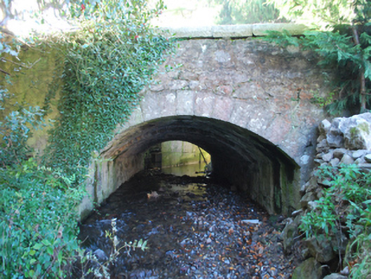
What is recorded here
Single-arch road bridge over river, built 1852; dated 1852. Part ivy-covered walls with cut-granite rounded coping to parapets centred on cut-granite date stone (west) or benchmark-inscribed cut-granite milestone (east). Single segmental arch with lichen-spotted granite ashlar voussoirs. Sited spanning Loughlinstown River with ivy-covered banks to river.
A bridge representing an integral component of the mid nineteenth-century civil engineering heritage of south County Dublin with the architectural value of the composition, one succeeding an eighteenth-century bridge (1770) annotated as "Boddies Bridge" on the first edition of the Ordnance Survey (surveyed 1837; published 1843), suggested not only by the silver-grey granite dressings demonstrating good quality workmanship, but also by the elegant "sweep" of the arch making a pleasing visual statement at a crossing over the stream-like Loughlinstown River: meanwhile, a benchmark remains of additional interest for the connections with cartography and the preparation of maps by the Ordnance Survey (established 1824).
This does not grant access. Most recorded buildings are privately owned; view them only from public ground unless the owner allows entry.
Places near here
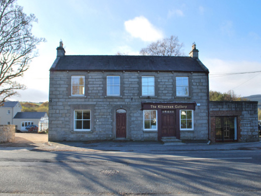 The Kilternan Galleryhouse · 171 yd
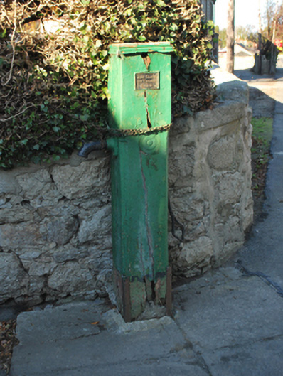 water pumpwater pump · 211 yd
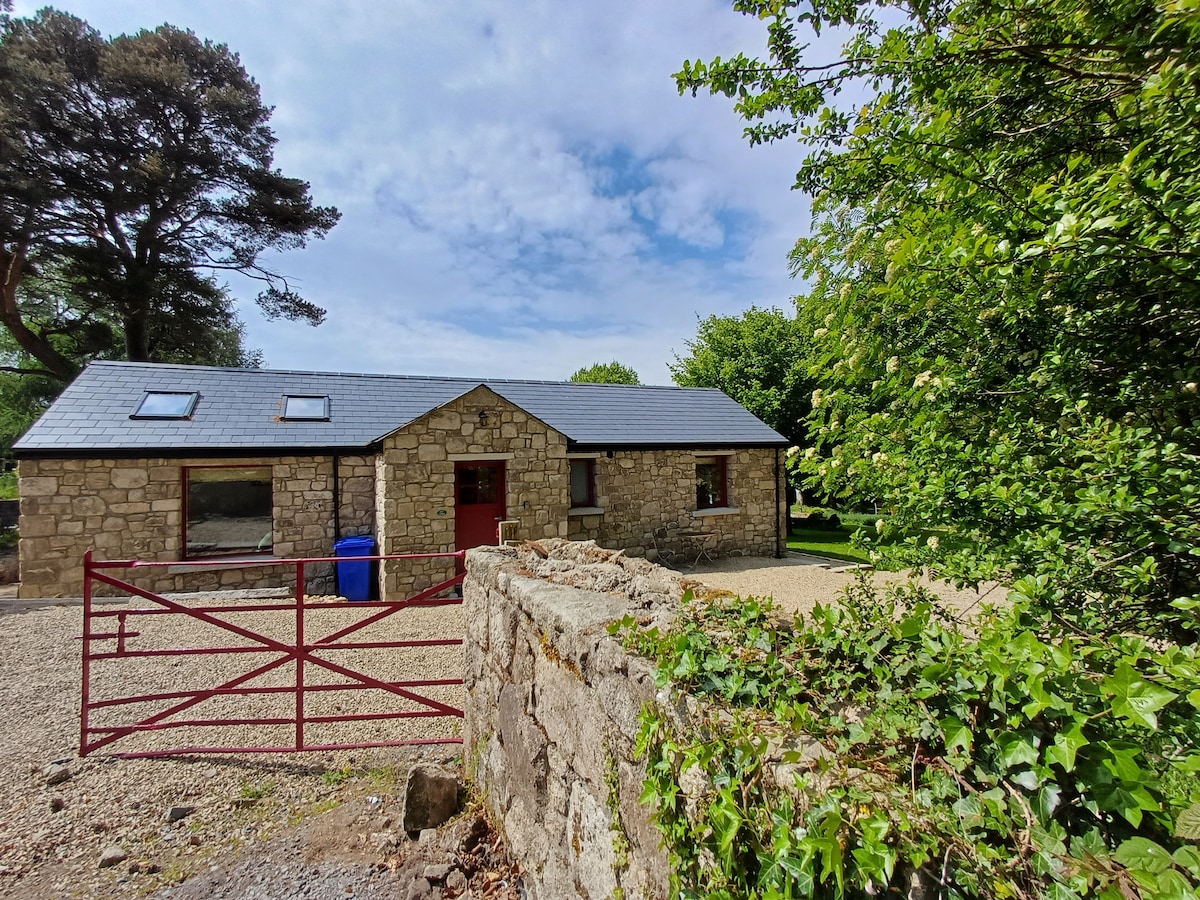 Enclosure in Glenamuck South,kingston (rathdown By., Ballybrack Ed)Enclosure · 244 yd
 Dingle GlenNature reserve · 1028 yd
 Ballybetagh WoodForest · 1107 yd
 Ring-ditch in Glenamuck NorthRing-ditch · 1372 yd
 Ballycorus castle Site ofCastle, tower house · 1609 yd
 Barnaslingan - Scalp Lookout TrailWalking route · 1.1 mi
 Barnaslingan HillMountain / peak · 1.1 mi
 Barnaslingan - Pine loop trailWalking route · 1.2 mi
 Puck's CastleCastle · 1.5 mi
 Carrickgollogan HillMountain / peak · 1.8 mi
Other information
Photo: National Inventory of Architectural Heritage · Website use allowed for educational or private purposes with source credit