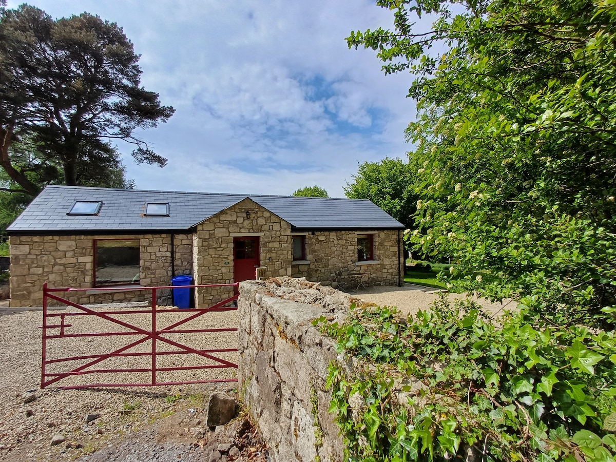
What is recorded here
No visible trace at ground level, yet the OS Letters (1837) recorded a cluster of enclosures at Glenamuck on the north bank of the stream beneath the Ballycorus tower. They stood in level pasture, perhaps holding livestock or marking a boundary now erased by time and grass. The land keeps its own ledger, writing and deleting without warning.
A sketch accompanying the OS Letters (1837) shows a cluster of enclosures at Glenamuck (Herity 2001, 20). The enclosures were located in level pasture on the N bank of stream overlooked by the tower at Ballycorus (DU026-044001-). There is no visible trace at ground level.
Compiled by: Geraldine Stout and Padraig Clancy.
Revised upload on: 14 April 2018.
This remains an important historical record, but the official description says the monument is no longer visible or has been destroyed. The monument record does not grant public access. Check the route and ask the landowner before entering private land.
- What survives
- No visible remains or recorded as destroyed
Places near here
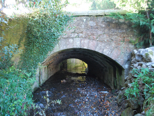 Kiltiernan Bridgebridge · 244 yd
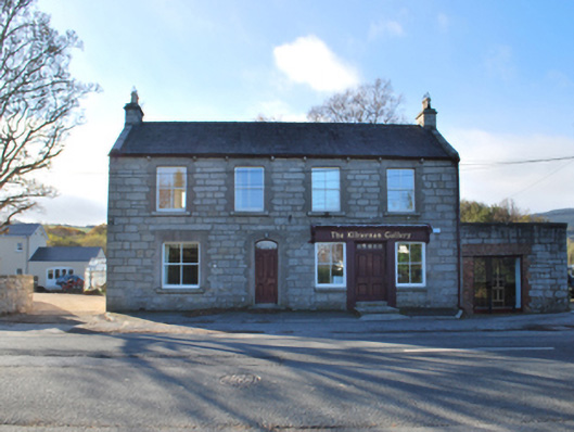 The Kilternan Galleryhouse · 356 yd
 Dingle GlenNature reserve · 789 yd
 Ring-ditch in Glenamuck NorthRing-ditch · 1285 yd
 Fulacht fia in Glenamuck NorthFulacht fia · 1321 yd
 Ballybetagh WoodForest · 1325 yd
 Ballycorus castle Site ofCastle, tower house · 1602 yd
 Barnaslingan - Scalp Lookout TrailWalking route · 1.2 mi
 Barnaslingan HillMountain / peak · 1.2 mi
 Barnaslingan - Pine loop trailWalking route · 1.2 mi
 Bawn in Carrickmines GreatBawn · 1.4 mi
 Carrickgollogan HillMountain / peak · 1.8 mi
Other information
Photo: Credit not shown in the picture search · Rights wording not checked; contact us if this picture should be removed