What is recorded here
Situated on top of a prominent hill, in pasture, with extensive views to S, W and N. Possible church site (WM038-029----) annotated 'Kilnahorna' in W quadrant of graveyard which is depicted on the 1837 ed. OS 6-inch map as a subcircular-shaped enclosure annotated ‘Kilnahorna Grave Yard’. Shown on the revised 1910 ed. OS 25-inch map as a pear-shaped enclosure, annotated ‘Kilnahorna (Grave Yard) (Disused)’.
Graveyard described in 1979 as a large, irregular pear-shaped area defined by a low earthen bank reduced to a scarp from SW-W-N-NE. A gap in the perimeter at SE may represent an entrance. A modern field fence running E-W is incorporated into the perimeter from S-SSW. The interior is quite uneven and there are disturbance depressions in the NE and W quadrants. A small, low mound of earth and stone in the E quadrant may also be due to disturbance. There is a faint low scarp outlining an irregular area in the W quadrant, although the significance of this is unclear. There is a large boulder on the surface near the centre with some smaller stones visible to the N, which may represent field clearance. The field to W and N of the monument has been ploughed within 2m of the perimeter. There is a small disturbance depression just outside the perimeter at NE. This graveyard could be the remains of a children's burial ground known as 'Kilnahorna' and the structure shown on the OS 25-inch map may have been a burial plot rather than that of a possible church site. Graveyard is visible today as an irregular-shaped earthwork on Digital Globe aerial photography.
Compiled by Alison McQueen, Vera Rahilly and Caimin O’Brien.
Date of upload: 18 December 2019
The monument record does not grant public access. Check the route and ask the landowner before entering private land.
- What survives
- Recorded monument
Places near here
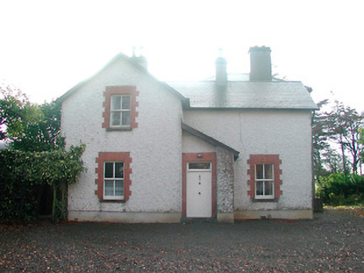
 KilnahornaChurch · 12 yd
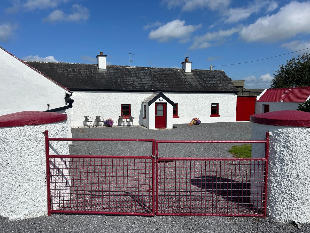
 Ardnaglew Cottagehouse · 479 yd
 Bonfire HillMountain / peak · 820 yd
 OutlinedFairy fort / ringfort · 921 yd
 Ardan WoodWood · 1326 yd
 Ecclesiastical enclosure in NewtownlowEcclesiastical enclosure · 1.7 mi
 Lows Castle (in Ruins)Castle, unclassified · 1.8 mi
 Rahugh MoatCastle, motte and bailey · 1.9 mi
 Durrow HillMountain / peak · 2.3 mi
 Bracklin WoodWood · 3.0 mi
 St. Columba's WellSpring · 3.5 mi
 Grand Canal WayWalking route · 5.6 mi