What is recorded here
Situated on level ground at the bottom of a slight E-facing slope. Listed in the RMP (1996) as ‘House – 17th century, possible’. On inspection in 2000 this was found to be a five-bay, one-storey farmhouse with loft and modern front porch, probably 19th century in date. No evidence of an earlier date was noted. Archaeological testing (Licence no. 06E0192) just c. 45m to the NE on a large site (c. 130m NW-SE; c. 130m NE-SW) produced no archaeological material (Delaney 2009, 581). Weir (1986, 163)
Compiled by: Mary Tunney
Date of upload: 12 July 2016
The monument record does not grant public access. Check the route and ask the landowner before entering private land.
- What survives
- Recorded monument
Places near here
 Enclosure in ShanvoghEnclosure · 423 yd
 IndicatedFairy fort / stone ringfort · 661 yd
 Poul na gollorCave · 1646 yd
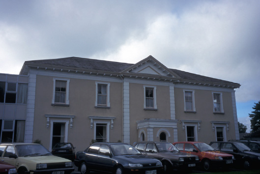 Cahircalla Housecountry house · 1713 yd
 Bushypark Househouse · 1.1 mi
 Inch Castle (in Ruins)Castle, tower house · 1.3 mi
 Post Office FieldNature reserve · 1.5 mi
 CastleCastle, tower house · 1.6 mi
 Clare MuseumMuseum · 1.7 mi
 Ennis AbbeyMuseum · 1.7 mi
 Alice and Gwendoline CaveMuseum · 1.8 mi
 Rockmount WoodWood · 1.9 mi