What is recorded here
Excavated in advance of development in 2004 (Excavation Licence No. 04E0224 ext.).
'The kiln was aligned broadly east-west and was double-flued with a stoking hole at either end and an oval-shaped firing chamber with a raised central platform. Both the firing chamber and flues had a compact fired clay lining and were filled with a silty clay, which produced several sherds of 13th/14th-century pottery as well as fragments of kiln furniture and medieval roof tiles. A linear feature which ran parallel to the north edge of the kiln may have been a drainage gully to keep the kiln area well drained. A number of intercutting sub-square straight-sided pits of varying depths, clustered in two distinct groupings in the south-east of the site, may have functioned as clay preparation or settling pits. Six roughly circular-shaped pits with straight sides and flat bases which ran in a broad arc from the north-west to the southeast of the site may have been clay-extraction pits. A number of other features in the kiln's vicinity functioned as rake-out/kiln waste dumps.' (Halpin 2007, 259-260)
This excavation also uncovered a ditch which pre-dated the kiln, the remains of a possible palisade slot and bank, and a large number of irregular-shaped pits. (ibid)
Compiled by: Claire Breen
Date of upload: 21 June 2013
The monument record does not grant public access. Check the route and ask the landowner before entering private land.
- What survives
- Recorded monument
Places near here
 Enclosure in MoneymoreEnclosure · 504 yd
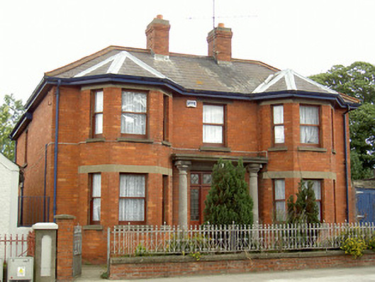 Mary's Villahouse · 700 yd
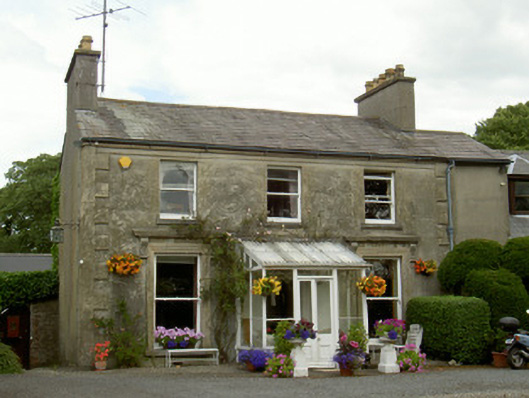 Boyne Viewhouse · 737 yd
 Concentric enclosure in YellowbatterConcentric enclosure · 1080 yd
 Magdalene TowerCastle · 1266 yd
 St. Peter's ChurchMemorial · 1577 yd
 The ThoselMemorial · 1652 yd
 Siege of Droghedasiege · 1.0 mi
 Millmount MuseumMuseum · 1.2 mi
 Yellow IslandIslet · 1.8 mi
 CastleCastle, tower house · 1.9 mi
 Grove IslandIslet · 2.1 mi