What is recorded here
Built into N-facing slope of a natural terrace, in pasture. A cashel (SL005-052----) is located 180m to the NE. D-shaped structure (max. ext. dims. 2.75m N-S; 2.35m E-W), with the straight vertical side (Wth 1.4; H 0.5m) facing N, constructed of roughly quarried sandstone blocks. The bowl is infilled (int. diam. 1.05m) with rubble stone and earth and the edges, with the exception of the straight side, are covered by a scarp (ext. H 0.4m) of earth and rubble limestone. The stoking hole (H 0.1m; Wth 0.2m) is located at the central base of the N side at the rear of a rectangular lintelled recess (Wth 0.5m; H 0.3m). A short length of walling (L 0.4m; Wth 0.65m) extends N from the E end of the N side of the kiln.
Compiled by: Patrick F. O'Donovan
Date of upload: 21 April 2011
The monument record does not grant public access. Check the route and ask the landowner before entering private land.
- What survives
- Recorded monument
Places near here
 RathhughFairy fort / earthen ringfort · 195 yd
 IndicatedFairy fort / stone ringfort · 717 yd
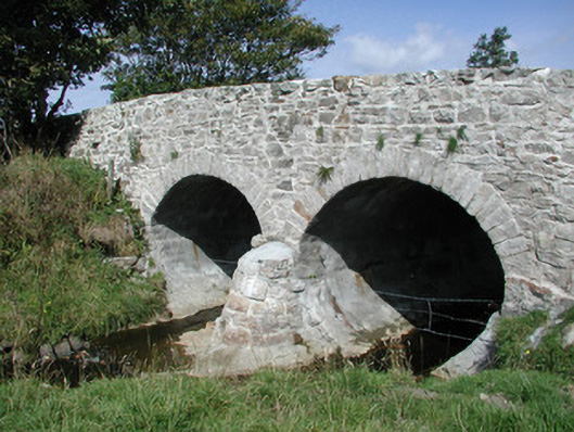 bridgebridge · 743 yd
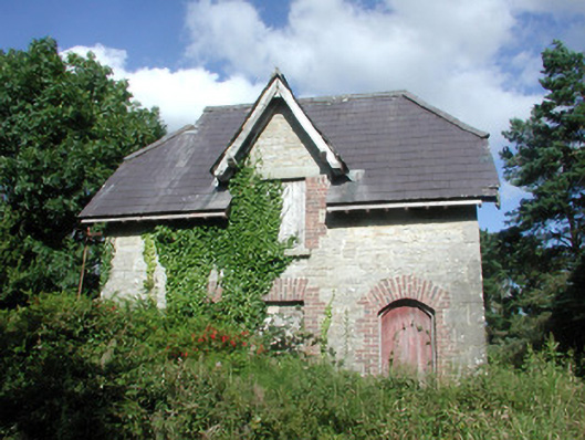 Benbulbin Old Schoolschool master's house · 1191 yd
 CastleCastle, unclassified · 1.3 mi
 InishnagorIslet · 1.6 mi
 Connors IslandIsland · 1.8 mi
 Atlantic SheepdogsHeritage attraction · 2.2 mi
 BenbulbenMountain · 2.4 mi
 BenbulbinMountain / peak · 2.4 mi
 BenwiskinMountain / peak · 2.7 mi
 de Cuellar Armada MonumentMemorial · 2.9 mi