What is recorded here
Not included in the SMR (1989) but listed in the RMP (1995) and classified 'Lime Kiln'. Not marked on any edition of the OS 6-inch map. In pasture, on the E side of a road. The low remains of a semicircular stone-built structure (4.6m E-W; 4.4m N-S; H 1.6m) built against a W-facing slope. The remains of the recess (Wth 1.35m) are on the W side, the top and front of which are collapsed. There are sloping slabs to the rear of the recess with a narrow ope at the base. The remains of a circular funnel (diam. 1.3m) lined with heat shattered stones is also evident. It is likely to be post-1700 AD in date.
Compiled by: Archaeological Survey Unit, UCC
Date of upload: 10 January 2012
The monument record does not grant public access. Check the route and ask the landowner before entering private land.
- What survives
- Recorded monument
Places near here
 IndicatedFairy fort / stone ringfort · 303 yd
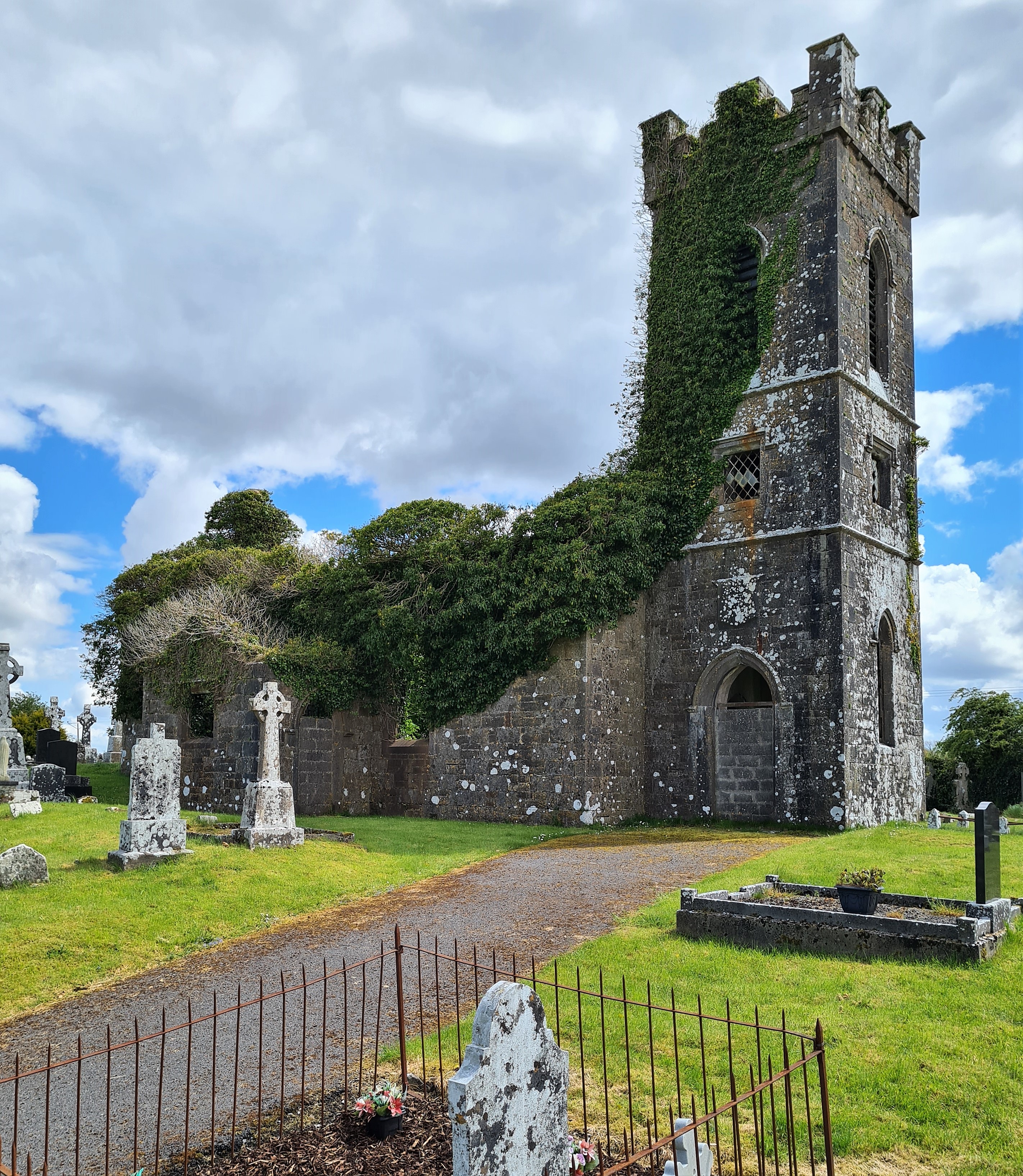 Ritual siteRitual site, holy/saint's stone · 913 yd
 Templerooaun (in Ruins)Church · 1513 yd
 Crow IslandIslet · 1.2 mi
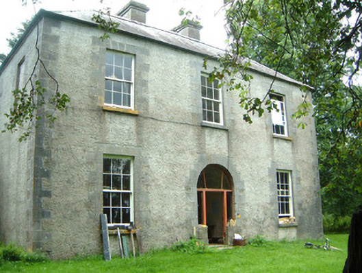 Redhill Househunting/fishing lodge · 1.4 mi
 CastleCastle, unclassified · 1.4 mi
 Inch IslandIslet · 1.5 mi
 Moygara Castle (in Ruins)Bawn · 1.6 mi
 Castle PointHeadland · 1.7 mi
 Curlew MountainsMountain / peak · 2.5 mi
 Rose PointHeadland · 2.5 mi
 Battle of the Curlew Mountains (1599)Battlefield · 5.3 mi