What is recorded here
In pasture, set into a SW-facing slope, on the N side of a small stream valley. Circular structure (overall diam. c. 3.5-4m) consisting of a shallow circular depression (diam. 2m), cut into the slope to a depth of c. 0.5m, and defined by remnants of a slightly raised rim incorporating a rough, gapped setting of stones. There appears to be a break or opening (Wth 0.4m) at S. Possibly the eroded foundation of a limekiln. There is a structure/another possible limekiln (SL022-025----) c. 40m to SE.
Compiled by: Jane O'Shaughnessy
Date of upload: 7 April 2014
The monument record does not grant public access. Check the route and ask the landowner before entering private land.
- What survives
- Recorded monument
Places near here
 Church (in Ruins)Church · 82 yd
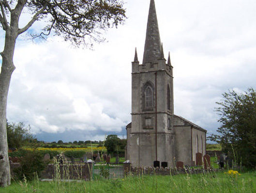 Killanly Church (Castleconor)church/chapel · 260 yd
 Rathmulcah FortFairy fort / earthen ringfort · 506 yd
 Castleconnor (in Ruins)Castle, hall-house · 1123 yd
 IndicatedFairy fort / earthen ringfort · 1349 yd
 Rosserk AbbeyHeritage attraction · 1443 yd
 HawthornHawthorn · 1459 yd
 Rinphilip PointHeadland · 1.1 mi
 Rinnachurry PointHeadland · 1.3 mi
 CastleCastle, unclassified · 1.3 mi
 Goose IslandIslet · 1.6 mi
 FloretteWreck · 2.3 mi