
What is recorded here
Annotated ‘L.K.’ on the 1863 edition of the Ordnance Survey 25-inch map where it is depicted as a square-shaped structure in an area of extensive quarrying, possibly associated with an ‘Old Lead Mine’ that is depicted on the 1837 ed. OS six-inch map. Limekiln 90m to the north. Not depicted on earlier editions of the OSi historic maps. No surface remains visible. Area of grassland on site of levelled limekiln visible on the 2013-18 MapGenie orthoimage.
Compiled by: Caimin O'Brien
Date of Compilation: 26 November 2025
The monument record does not grant public access. Check the route and ask the landowner before entering private land.
- What survives
- Recorded monument
Places near here
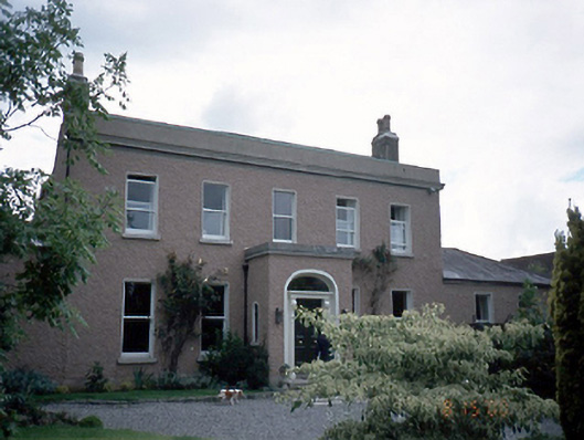 Castleknock Househouse · 86 yd
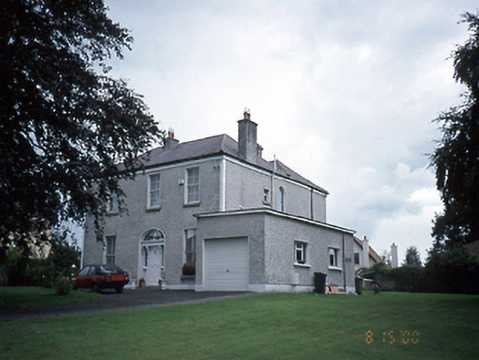 The Elmshouse · 88 yd
 TowerBurial · 441 yd
 ExcavationExcavation, miscellaneous · 486 yd
 Castleknock CastleCastle · 596 yd
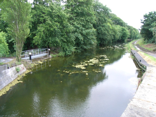 The Royal Canal WayWalking route · 807 yd
 National Famine WayWalking route · 815 yd
 Graveyard in Palmerstown LowerGraveyard · 1664 yd
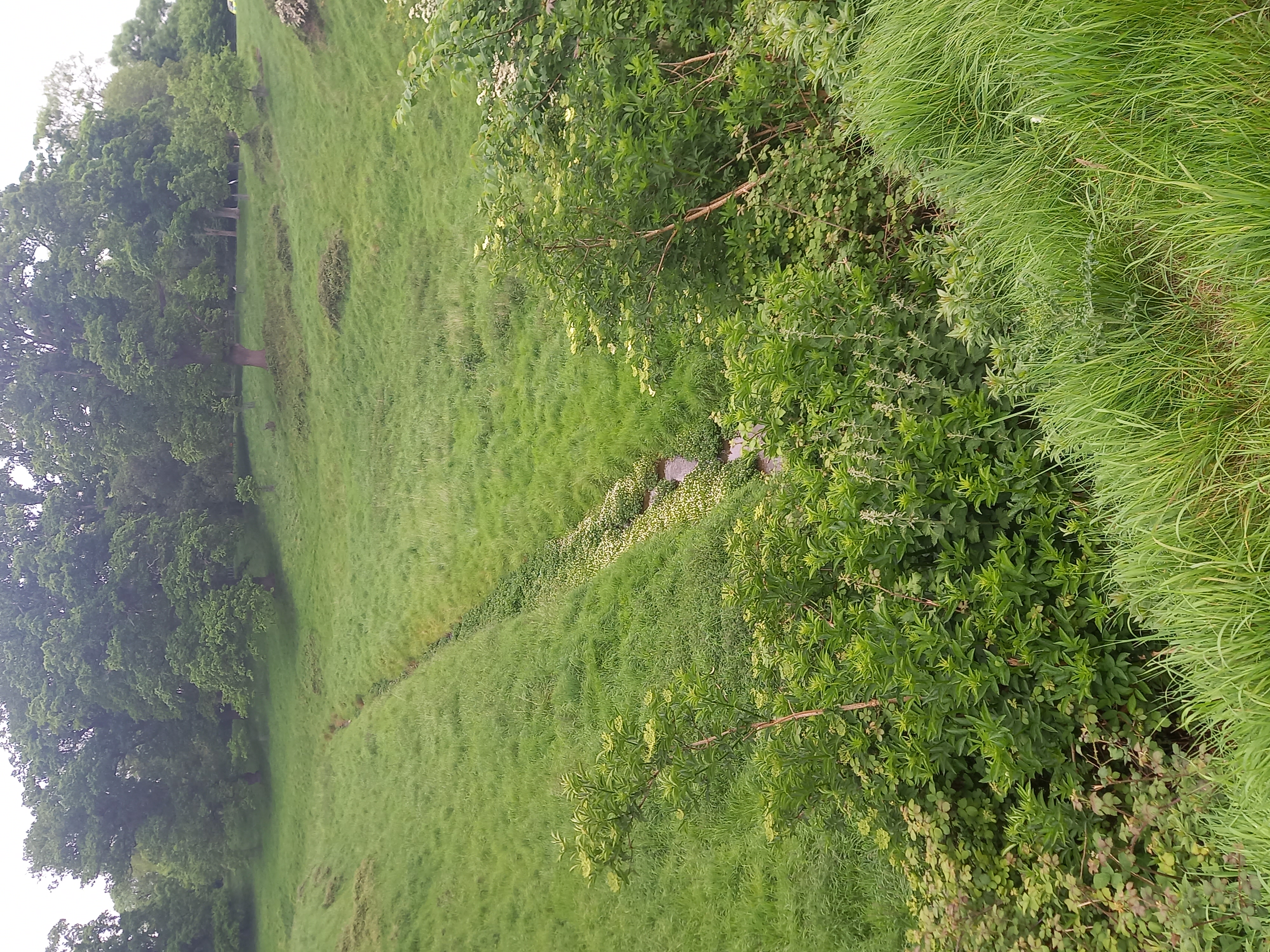 Furry GlenWood · 1.0 mi
 Oldtown WoodWood · 1.3 mi
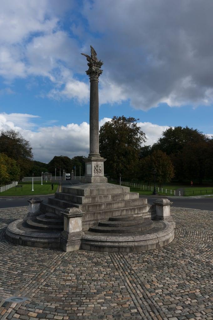 Martin Savage Memorial MonumentMonument · 1.3 mi
 Castle (site of)Castle, unclassified · 1.7 mi
Other information
Photo: Credit not shown in the picture search · Rights wording not checked; contact us if this picture should be removed