What is recorded here
Geophysical survey (Licence no. 04R052) and test excavation (Licence no. 04E0796) in advance of residential development. Features identified including a curvilinear gully, refuse pits and post/stakeholes were subsequently excavated (Licence no. 04E0935). At the east of the site, a small kiln appeared to have been truncated by a later pit. It consisted of a drystone setting or lining along the sides of a cut with oxidisation along the base. To the west of the kiln structural features indicated a small shelter or work area, centred on a hearth, in association with a series of refuse pits and a curvilinear gully. A large quantity of medieval pottery, c. 2989 sherds, was recovered, dating to the late 13th and early 14th centuries, including pottery wasters, ladles or pipkins with hooked handles, cooking vessels, and jugs with slashed and plain strap handles, thumbed rims and bases. Applied body decoration included so-called raspberry 'prunts'. A two-colour floor tile of probable 13th-century date was also found within the scorched backfill of an additional hearth. This corresponds to the provisional date for the majority of the pottery recovered from the site. Other finds included a copper alloy stick pin, spindle whorl, a fragment of a rotary quernstone and a carved, slightly serrated, bone piece possibly used to decorate pottery (Campbell, K. 2004:0480 www.excavations.ie).
Geophysical survey (Licence no. 04R052) and test excavation (Licence no. 04E0796) in advance of residential development. Features identified including a curvilinear gully, refuse pits and post/stakeholes were subsequently excavated (Licence no. 04E0935). At the east of the site, a small kiln appeared to have been truncated by a later pit. It consisted of a drystone setting or lining along the sides of a cut with…
From the National Monuments Service (Archaeological Survey of Ireland) record DU017-091
The monument record does not grant public access. Check the route and ask the landowner before entering private land.
- What survives
- Recorded monument
Places near here
 Saint Vincent's CollegeGate lodge · 92 yd
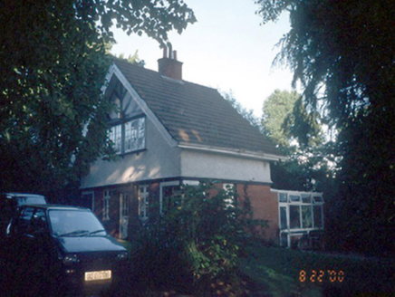 Knockmaroon HouseGate lodge · 122 yd
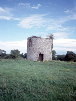 Saint Vincent's CollegeMill (wind) · 203 yd
 FarmleighHeritage attraction · 387 yd
 Castleknock CastleCastle · 466 yd
 The Royal Canal WayWalking route · 540 yd
 Oldtown WoodWood · 1.1 mi
 Phoenix Park Visitor CentreVisitor information · 1.3 mi
 Ashtown CastleCastle · 1.4 mi
 Phoenix ParkPublic park · 1.5 mi
 Knockmaree DolmenArchaeological place · 1.5 mi
 Magazine FortBastioned fort · 2.3 mi
Pictures: National Inventory of Architectural Heritage; DubhEire, Wikimedia Commons · CC0; Laurel Lodged, Wikimedia Commons · CC BY-SA 4.0; JP, Geograph · CC BY-SA 2.0; N Chadwick, Geograph · CC BY-SA 2.0; Frank Winkelmann, Wikimedia Commons · CC BY 3.0; self, Wikimedia Commons · Public domain; Pier Paolo Lisarelli, Wikimedia Commons · CC BY-SA 4.0; John Hardy, Geograph · Creative Commons Attribution-ShareAlike 2.0
More archaeology and monuments in County Dublin · All of County Dublin
What do you know about this place?