What is recorded here
On a steep WSW-facing slope in rough mountainous terrain. Not marked on any edition of the OS six-inch map. Approximately rectangular structure (max. dim. c.3m; max. H 1.2m) defined by a drystone-built wall. The NNE side is built into the slope of the hillside. The bowl (diam. 1.4m; max. H 0.2m-0.45m) has been infilled. The raking/stoking hole (H 0.93m; Wth. 0.58m) is centrally located in the WSW wall. This is a post-1700 monument.
Compiled by: Patrick F. O'Donovan
Date of upload: 28 June 2012
The monument record does not grant public access. Check the route and ask the landowner before entering private land.
- What survives
- Recorded monument
Places near here
 Crolly WaterfallWaterfall · 2.4 mi
 Loch an Iúir Stone RingfortFairy fort / stone ringfort · 3.1 mi
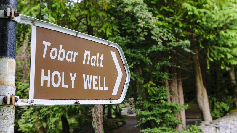 Holy well in Doire Na CoradhHoly well · 3.1 mi
 icehouseicehouse · 3.3 mi
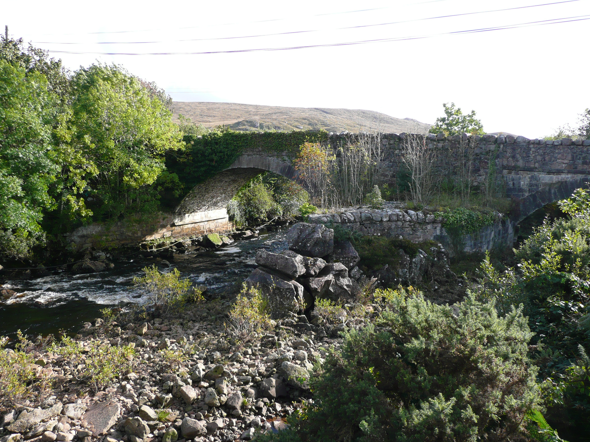 Doochary Bridgebridge · 3.3 mi
 An tOileán DubhIslet · 3.9 mi
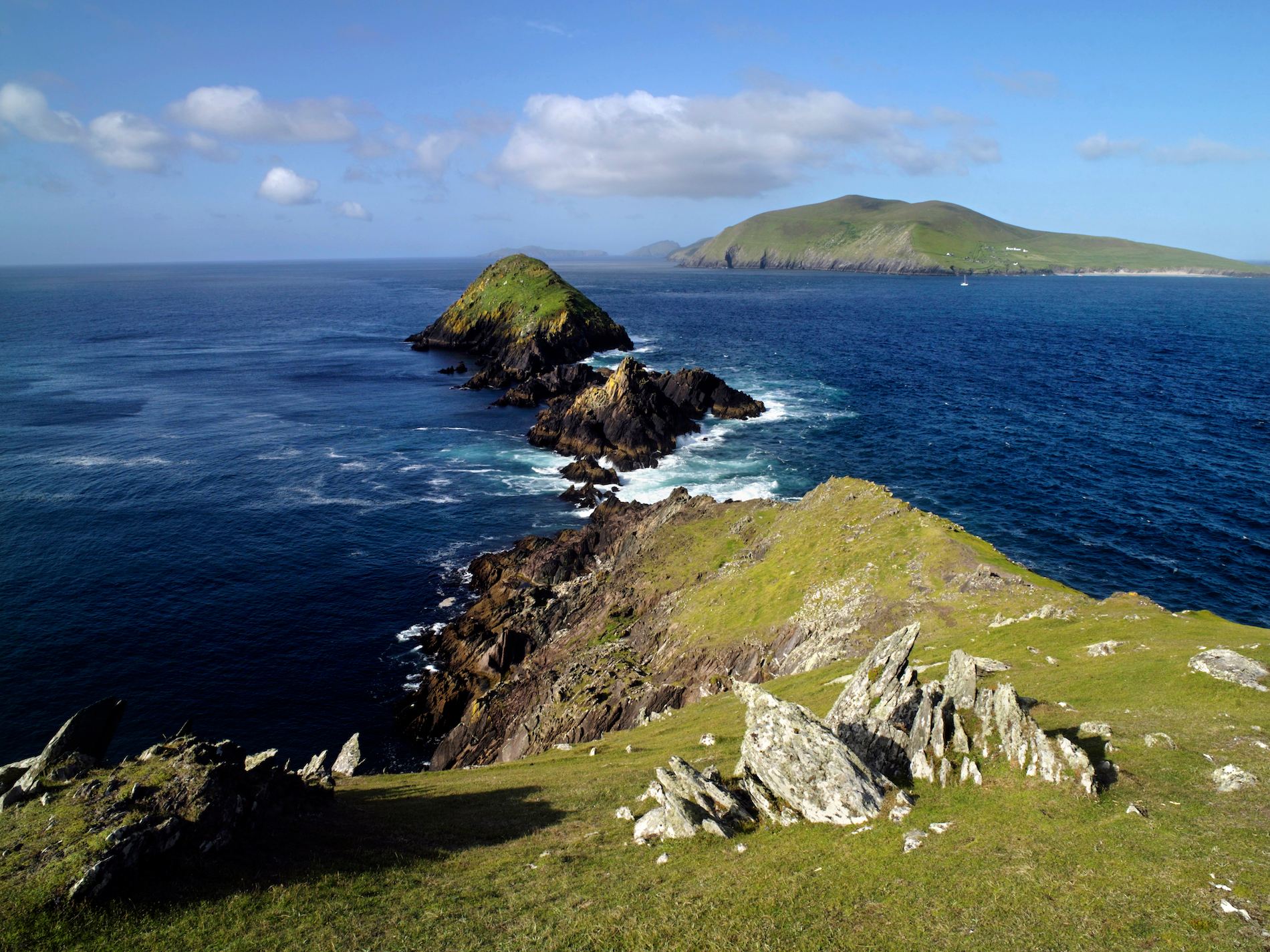 Brush IslandsIslet · 3.9 mi
 CrockfaddaMountain / peak · 4.2 mi
 Drumlaghdrid HillMountain / peak · 4.7 mi
 Lough Barra Bog Nature ReserveNational nature reserve · 5.1 mi
 Meenachullion Nature ReserveNational nature reserve · 5.7 mi
 Dunlewey CentreHeritage attraction · 6.5 mi