What is recorded here
Not indicated on the 1837 or 1912 editions of the OS six-inch map. Not listed in either the SMR (1989) or RMP (1995). Situated immediately to the N of Ballyscannel enclosure (SL005-020001-) in N-facing natural vertical slope overlooking foreshore. The structure is consists of two parallel walls (L N-S 2m; T 0.3m; Max. H 1.4m) spaced 2.2m apart. The walls are of un-mortared flat foreshore rocks and occasional quarried shale blocks laid in rough courses. Steps (av. dims. Wth 0.3m; D 0.2m; H 0.15m) constructed of roughly quarried shale blocks rise from the foreshore and up the natural slope on the W side of the westernmost wall. The area between the two walls is in-filled with rubble shale, foreshore rocks and earth. This is a post-1700 feature.
Compiled by: Patrick F. O'Donovan
Date of upload: 23 July 2012
The monument record does not grant public access. Check the route and ask the landowner before entering private land.
- What survives
- Recorded monument
Places near here
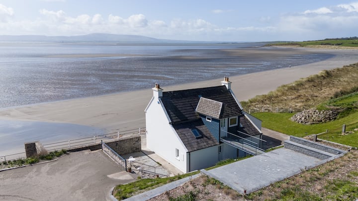 Enclosure in BallyscannelEnclosure · 1 yd
 Enclosure in AgharrowEnclosure · 1190 yd
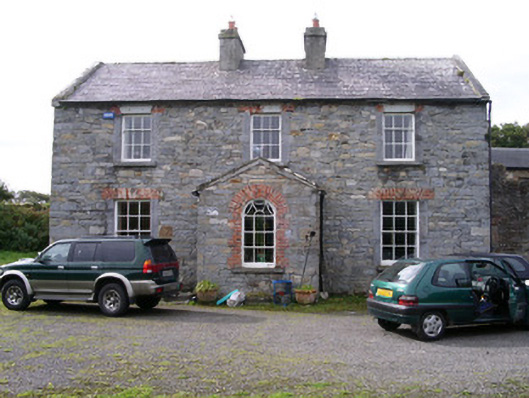 Streedagh Househouse · 1.1 mi
 de Cuellar Armada MonumentMemorial · 1.1 mi
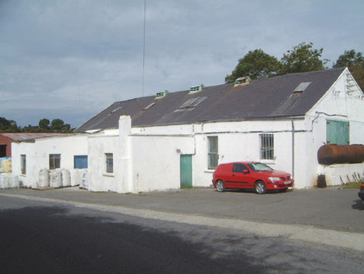 Ballinfull Creamerycreamery · 1.6 mi
 Streedagh BeachVisitor information · 1.6 mi
 Atlantic SheepdogsHeritage attraction · 1.7 mi
 Upperglen WoodForest · 2.0 mi
 Bawn in DoonforeBawn · 2.0 mi
 Forester's WoodForest · 2.1 mi
 InishnagorIslet · 2.6 mi
 Castle (Site of)Castle, unclassified · 3.0 mi