What is recorded here
Situated on a gentle W-facing slope, c. 80m SW of the site of the tower house (ME037-011----). Archaeological testing (01E0316) uncovered a cut partly lined with stones (L 1.3m) on its N side. It was filled with layers of ash, and a clay pipe dating from the 1640s to 1660s was recovered from a sample excavation. It is interpreted as a possible kiln and is preserved beneath a white geotextile and a covering of topsoil. (Hayden 2001, 2)
Compiled by: Michael Moore
Date of upload: 21 August 2019
The monument record does not grant public access. Check the route and ask the landowner before entering private land.
- What survives
- Recorded monument
Places near here
 Scurlogstown CastleArchaeological place · 88 yd
 Church (in Ruins)Church · 134 yd
 CastleCastle, motte · 207 yd
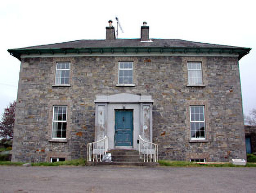 Newtown Parkhouse · 951 yd
 CrossCross, High cross (present location) · 1.2 mi
 Newtown AbbeyCathedral · 1.3 mi
 Small-leaved ElmSmall-leaved Elm · 2.8 mi
 Saints IslandForest · 2.9 mi
 MullaghMountain / peak · 7.8 mi
 Larchil Arcadian GardensHeritage attraction · 8.3 mi
 Kilgar GardensHeritage attraction · 8.3 mi
 1798 MemorialMemorial · 8.5 mi