What is recorded here
Identified in centre-line testing (E4110) in advance of the M11 Gorey to Enniscorthy road scheme and set aside for resolution as Mountgeorge 7 (Hardy et al. 2010, 55). It is situated at the bottom of a NW-facing slope with a small NE-SW stream c. 45m to the NW. It was completely excavated (E4173) by M. McNamara when a kiln came to light. It was keyhole-shaped (dims 5m NE-SW; 2.2-2.8m NW-SE; max. D 0.45m), with a drying chamber at SW that may have been stone-lined, a flue, and a firing-chamber at the NE end. Some pottery of Middle Bronze Age character was recovered from the upper levels of the kiln, and C14 determinations of cal. BC 1630-1454 were achieved by samples of oak from the kiln. (McNamara 2012; 2013)
Compiled by: Michael Moore
Date of upload; 26 November, 2013
The monument record does not grant public access. Check the route and ask the landowner before entering private land.
- What survives
- Recorded monument
Places near here
 KilnKiln, corn-drying · 370 yd
 Holy well in MountgeorgeHoly well · 416 yd
 Fulacht fia in MountgeorgeFulacht fia · 432 yd
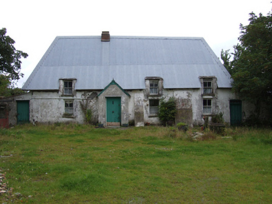 farm housefarm house · 513 yd
 The GroveWood · 1294 yd
 The CoilWood · 1478 yd
 Giants BedNamed rock · 1.3 mi
 Carrigroe HillMountain / peak · 1.8 mi
 Father Murphy CentreHeritage attraction · 2.2 mi
 Milshoge RockMountain / peak · 2.4 mi
 Ferns Castle (in ruins)Castle, Anglo-Norman masonry castle · 3.1 mi
 CastleCastle, unclassified · 3.8 mi