What is recorded here
Test-trenching was carried out as part of an assessment along a stretch of c. 40km of the proposed N8 road improvement scheme from Cullahill, Co. Laois, to Cashel, Co. Tipperary. Located to the N of Glashare Stream. A circular pit (diam. 0.85m; D 0.06m) with two protruding linear offshoots (both L 1m; Wth 0.3m), one running SW, the other SE. The pit was filled by grey/black charcoal-rich silty clay. A small box-section revealed that the pit was only 0.06m in depth. The offshoots were filled with grey/black silty clay that contained frequent charcoal flecks. The sides of the two offshoots were fire-reddened, suggesting in situ burning. The plan and form of this feature suggests that it is a kiln. (Moriarty 2008, 294)
Compiled by: Jean Farrelly
Date of upload: 25 January 2018
The monument record does not grant public access. Check the route and ask the landowner before entering private land.
- What survives
- Recorded monument
Places near here
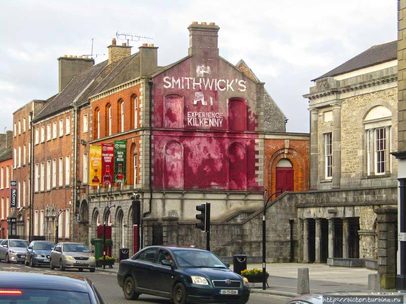 Glashare Ringfort (rath)Archaeological place · 314 yd
 Enclosure in GlashareEnclosure · 378 yd
 Glashare CastleCastle, tower house · 379 yd
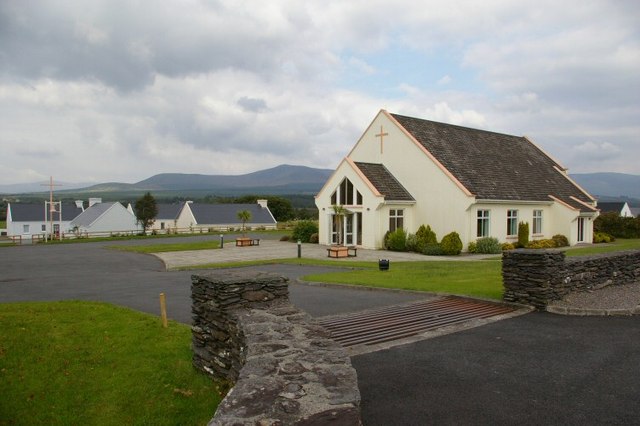 Church in GlashareChurch · 448 yd
 Street fieldArchaeological place · 605 yd
 farm housefarm house · 1.1 mi
 CastleCastle, unclassified · 1.5 mi
 Cnoc SeanrathaMemorial · 3.0 mi
 DelaneyMemorial · 3.2 mi
 Clomantagh HillMountain / peak · 3.5 mi
 Big WoodWood · 4.5 mi
 Anker's IslandIsland · 7.0 mi