What is recorded here
On the first edition of the Ordnance Survey maps a kiln is indicated just N of the mill which is also shown on the maps, being titled on later versions Dungooley Mill (Flax and Corn).
Compiled by: Margaret Keane
Updated on: 13 March 2018
The monument record does not grant public access. Check the route and ask the landowner before entering private land.
- What survives
- Recorded monument
Places near here
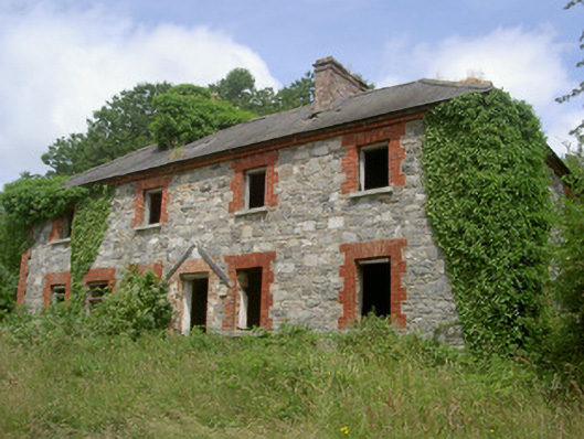 Dungooly Millmiller's house · 41 yd
 Bawn in DungoolyBawn · 179 yd
 Dungooly Bridgebridge · 279 yd
 Holy well in DrumbillaHoly well · 463 yd
 Sky HillMountain / peak · 1386 yd
 ENCLOSURE in CarriveENCLOSURE · 1657 yd
 Ballsmill Amenity LandPicnic place · 1.1 mi
 Forkhill Greenspace PathwayWalking route · 1.2 mi
 CroslieveMountain / peak · 1.4 mi
 Ring of Gullion Way - ForkhillVisitor information · 1.4 mi
 Roche CastleCastle, Anglo-Norman masonry castle · 1.6 mi
 Mass Rock Loop TrailWalking route · 1.6 mi